What is recorded here
Enclosure in Kilboglashy is an enclosure in Kilboglashy, County Sligo, Ireland. The oval site stands on a rounded hillock overlooking the mouth of the Ballysadare River, north of the church and graveyard. A quarry pit removed the southern half, but the remaining northern scarp and stony rise preserve part of the original twenty by fifteen metre boundary. Dense blackthorn scrub now hides the eastern edge from view.
In pasture, on a rounded hillock overlooking the mouth of the Ballysadare River. The hillock forms the northern extremity of a larger undulating hill to S of which the church and graveyard (SL020-109001-, SL020-109002-) are located. An oval raised area, indicated on the 1914 OS 6-inch map, is evident as a barely discernible sod-covered stony rise (Wth 0.5-1m) SW-NE. It is most clearly defined NW-N where the external scarp (H 0.5-0.8m) incorporates large stones at intervals. It appears to continue NE-E but due to dense blackthorn scrub it is impossible to confirm this. A quarry pit (8m N-S; 6.6m E-W; D 1.6m) has obliterated the S half of the enclosure. The extant remains suggest that the dimensions of the original oval enclosure were c. 20m N-S by 15m E-W.
The above description is derived from the published 'Archaeological Inventory of County Sligo' compiled by Ursula Egan, Elizabeth Byrne, Mary Sleeman with Sheila Ronan and Connie Murphy (Dublin Stationery Office, 2005).
Date of upload: 18 January 2008
The monument record does not grant public access. Check the route and ask the landowner before entering private land.
- What survives
- Recorded monument
Places near here
 Ecclesiastical enclosure in KilboglashyEcclesiastical enclosure · 135 yd
 Church (in Ruins)Church · 188 yd
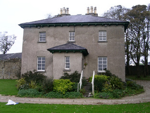 Rapids Lodgehouse · 197 yd
 CastleCastle, unclassified · 323 yd
 IndicatedFairy fort / stone ringfort · 1043 yd
 SlievewardMountain / peak · 1.6 mi
 BunreecoillMountain / peak · 1.6 mi
 Union RockForest · 1.7 mi
 Battle of Collooneybattle · 1.9 mi
 Teeling MonumentMemorial · 1.9 mi
 CarrigeenfaddaIslet · 1.9 mi
 RinnatalleenHeadland · 2.5 mi