What is recorded here
Kilbarry enclosure held a single rampart forty-one yards wide on Mr Power's land until local residents levelled the fort in the early 1980s. Bowman measured about four feet of bank standing in 1934, and the field fence may have traced the lost curve for another fifty years. The fort disappeared into ordinary tillage, leaving only a kink in the boundary and a warning about how quickly memory yields to the plough.
In tillage, on gentle S-facing slope, just N of deeply cut stream valley. According to local information, 'fort' levelled early 1980s. Probably located in E half of roughly semicircular field (c. 80m E-W; projecting c. 50m to S) indicated on 1842, 1905 and 1937 OS 6-inch maps; curve of field fence E->S in E corner of field and kink in linear field fence to N may have skirted or incorporated bank of fort. No visible surface trace; field boundaries levelled. Recorded by Bowman (1934, 419-20) as single-ramparted fort (diam. c. 41yd), situated in a glen, on Mr Power's land; 'about half the circuit stands' (H c. 4ft); possible church at centre (14489). Site of horizontal water-mill (14058) a short distance to W. Possible burial ground (14175) in adjoining field to NW.
The above description is derived from the published 'Archaeological Inventory of County Cork. Volume 4: North Cork' (Dublin: Stationery Office, 2000). In certain instances the entries have been revised and updated in the light of recent research.
Date of upload/revision: 14 January 2009
The monument record does not grant public access. Check the route and ask the landowner before entering private land.
- What survives
- Recorded monument
Places near here
 Earthwork in BallymacpierceEarthwork · 686 yd
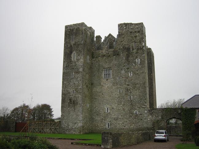 BarrowBarrow, ring-barrow · 792 yd
 CastleCastle, unclassified · 964 yd
 Castlecor HouseCountry house · 997 yd
 Ballygrady SchoolSchool · 1204 yd
 Graveyard in Ballygiblin (duhallow By.)Graveyard · 2.0 mi
 Ballyheen Castle (Site of)Castle, unclassified · 2.5 mi
 European YewEuropean Yew · 2.8 mi
 Burial ground in AssolasBurial ground · 2.9 mi
 Battle of LiscarrollMajor battlefield · 3.8 mi
 Hanna SheehyMemorial · 5.0 mi
 Kanturk CastleHeritage attraction · 5.2 mi
Other information
Photo: Credit not shown in the picture search · Rights wording not checked; contact us if this picture should be removed