What is recorded here
In tillage, on gentle S-facing slope, just N of deeply cut stream valley. According to local information, 'fort' levelled early 1980s. Probably located in E half of roughly semicircular field (c. 80m E-W; projecting c. 50m to S) indicated on 1842, 1905 and 1937 OS 6-inch maps; curve of field fence E->S in E corner of field and kink in linear field fence to N may have skirted or incorporated bank of fort. No visible surface trace; field boundaries levelled. Recorded by Bowman (1934, 419-20) as single-ramparted fort (diam. c. 41yd), situated in a glen, on Mr Power's land; 'about half the circuit stands' (H c. 4ft); possible church at centre (14489). Site of horizontal water-mill (14058) a short distance to W. Possible burial ground (14175) in adjoining field to NW.
The above description is derived from the published 'Archaeological Inventory of County Cork. Volume 4: North Cork' (Dublin: Stationery Office, 2000). In certain instances the entries have been revised and updated in the light of recent research.
Date of upload/revision: 14 January 2009
The monument record does not grant public access. Check the route and ask the landowner before entering private land.
- What survives
- Recorded monument
Places near here
 Earthwork in BallymacpierceEarthwork · 686 yd
 BarrowBarrow, ring-barrow · 792 yd
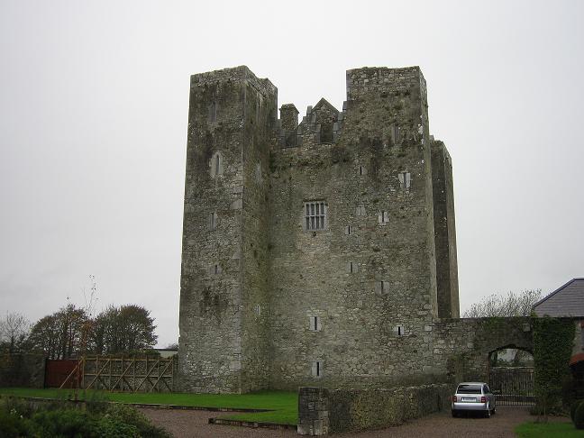
 CastleCastle, unclassified · 964 yd
 Castlecor HouseCountry house · 997 yd
 Ballygrady SchoolSchool · 1204 yd
 Graveyard in Ballygiblin (duhallow By.)Graveyard · 2.0 mi
 Ballyheen Castle (Site of)Castle, unclassified · 2.5 mi
 European YewEuropean Yew · 2.8 mi
 Burial ground in AssolasBurial ground · 2.9 mi
 Battle of LiscarrollMajor battlefield · 3.8 mi
 Hanna SheehyMemorial · 5.0 mi
 Kanturk CastleHeritage attraction · 5.2 mi
Other information
Photo: Credit not shown in the picture search · Rights wording not checked; contact us if this picture should be removed