What is recorded here
Kerries East holds a forgotten circular enclosure sixty metres wide, buried beneath improved farmland and visible only through faint crop marks. A low broad bank barely rises twenty centimetres above the soil, yet aerial photography reveals the complete shape hidden from human eyes. The site sits immediately south of a small stream and north of an older field system, waiting for someone to notice what the sky already knows.
'Located to the north of the field system and enclosures of RMP KE029-110---- and immediately south of a small stream. The site is in the low-lying improved land, off the reef on which the recorded field system is located. This site is very difficult to trace on the ground, although a very low broad bank measuring 3.3m in width and remaining to a height of only 0.20m can be traced to the north. The site is clearly visible as a large circular enclosure on aerial photography, though much of the enclosing element is only visible as a crop mark. The dimensions of the enclosed area are 68m N-S and 60m E-W.'
Description from ‘The Prehistoric Settlement of the Lee Valley, Tralee, Co. Kerry; A Landscape Perspective’ by Michael Connolly. PhD Thesis UCC 2008
Date of upload: 03 July 2012
The monument record does not grant public access. Check the route and ask the landowner before entering private land.
- What survives
- Recorded monument
Places near here
 Fulacht fia in Knockanush EastFulacht fia · 173 yd
 Field system in Kerries East,kerries West,knockanush EastField system · 418 yd
 Clogherbrien Church (in ruins)Church · 614 yd
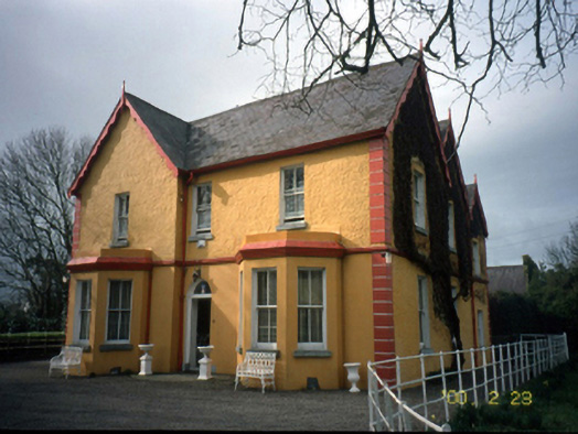 Mount Hawk Househouse · 1.0 mi
 Castle MacallistrumCastle, unclassified · 1.7 mi
 View of WindmillHeritage attraction · 1.7 mi
 Blennerville WindmillHeritage attraction · 1.7 mi
 Tralee Bay Wetlands Eco and Activity ParkNature reserve · 1.9 mi
 CastleCastle, unclassified · 2.0 mi
 The PikemanMemorial · 2.0 mi
 The DicemanMemorial · 2.0 mi
 Tobar na MoltSpring · 3.0 mi