What is recorded here
Enclosure in Kerries East holds two low stone banks on separate limestone reefs, facing each other across a shallow gully while the Stacks Mountains and Sliabh Mis watch from beyond. People may have set cairns inside the northerly circle, watched the southerly site from the rising reef, and used the eastern edge as a natural gate rather than building one. Strip grazing has since swallowed the surrounding field banks, leaving these ancient marks to protrude through modern grass like forgotten knobs on a living body.
'Located immediately south of a small unnamed stream, with higher ground obscuring the view to the west. The site affords good views of the Stacks Mountains to the north-east, the Sliabh Mis to the south, south-west and south-east and particularly good views of Knockanush Hill and the pass between the hill and the ridge that extends westwards from the Stacks Mountains. The complex is sited on two waulsortian mudmounds or limestone reefs separated by a shallow gully like feature. The more northerly reef is higher than the more southerly, which is 30m away, and the slope of the reef gives a clear view of the more southerly site. The surrounding land has had all its field banks/boundaries removed and has been ploughed and re-seeded with grass. Currently over 100 acres of land has been amalgamated and developed for strip grazing. The constraint shown on the Record of Monuments & Places map effectively delimits two main structures and a number of small cairns and numerous low, grass covered, stone field banks...............Structure A [KE029-110001-] is located on the more northerly reef. It appears to be sub-circular but is if fact not complete as there is no clear trace of an enclosing element to the east, where there is a sharp drop off the reef. The enclosing element around the rest of the site is a low bank, mainly composed of stone, though it is grass covered in places, while protruding areas of bedrock have been incorporated into the bank along its length. The bank is on average 2m wide at base and 0.50m high both internally and externally. Inside the bank there are a number of small outcrops of bedrock, while centrally there are two small rubble cairns measuring 1.6 and 2.3m in diameter respectively and remaining to a height of 0.55m. The dimensions of the area enclosed are 24.8m N-S and 25.9m from W to the edge of the reef at the east.'
Description from ‘The Prehistoric Settlement of the Lee Valley, Tralee, Co. Kerry; A Landscape Perspective’ by Michael Connolly. PhD Thesis UCC 2008
Date of upload: 03 July 2012
The monument record does not grant public access. Check the route and ask the landowner before entering private land.
- What survives
- Recorded monument
Places near here
 Fulacht fia in Knockanush EastFulacht fia · 282 yd
 Clogherbrien Church (in ruins)Church · 526 yd
 Field system in Kerries East,kerries West,knockanush EastField system · 563 yd
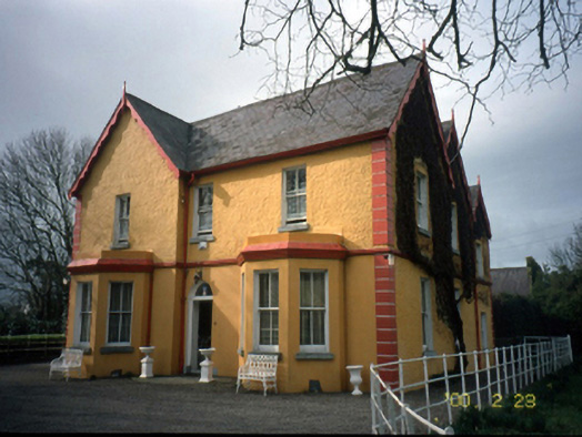 Mount Hawk Househouse · 1669 yd
 Castle MacallistrumCastle, unclassified · 1.6 mi
 View of WindmillHeritage attraction · 1.7 mi
 Blennerville WindmillHeritage attraction · 1.7 mi
 Tralee Bay Wetlands Eco and Activity ParkNature reserve · 1.8 mi
 CastleCastle, unclassified · 1.9 mi
 The PikemanMemorial · 1.9 mi
 The DicemanMemorial · 1.9 mi
 Tobar na MoltSpring · 3.0 mi