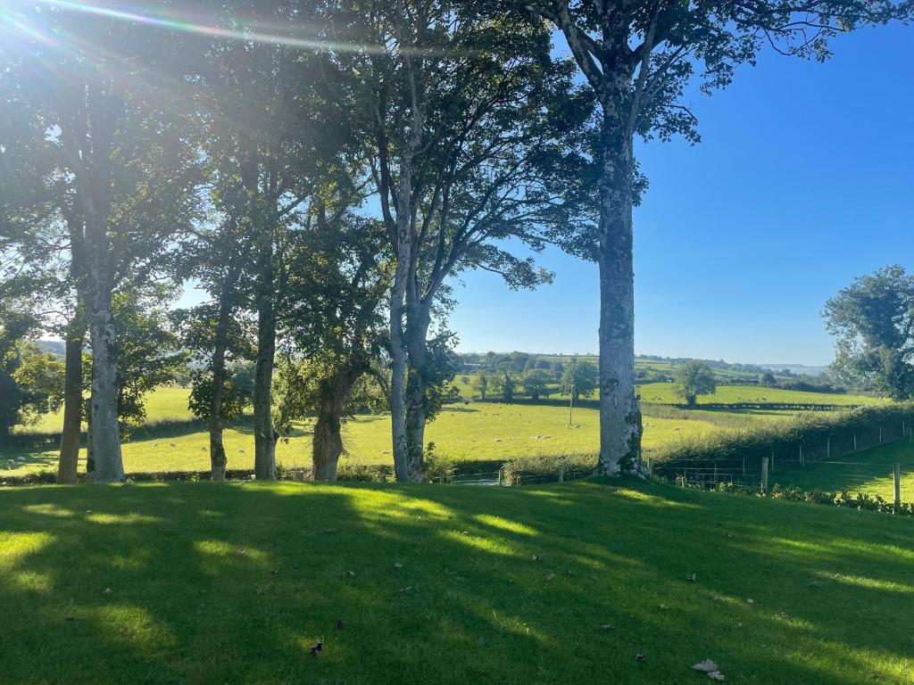
What is recorded here
Keeloges holds a fifty-four-metre circular enclosure in wet pasture, its ancient bank still visible through bushes and satellite imagery. The 1897 map showed trees inside the ring, suggesting people lived there long before modern fields cut across it. A possible ringfort waits twenty-three metres further northwest, creating a strange neighbourhood of forgotten homes beneath the grass.
In wet pasture, 420m W of the townland boundary with Park. Possible ringfort (LI049-162----) lies 230m to NW. Depicted on the 1897 ed. OSi 25-inch map as a raised circular-shaped area (diam. c. 54m) enclosed by a bank with interior planted with trees. Outline of monument delimited by bushes is visible on Digital Globe orthoimage taken between 2011-13 and on Google Earth orthoimages where it is intersected at NE and SW by field boundaries running NE-SW.
See attached Google Earth orthoimages.
Compiled by: Martin Fitzpatrick
Date of upload: 29 October 2021
The monument record does not grant public access. Check the route and ask the landowner before entering private land.
- What survives
- Recorded monument
Places near here
 Enclosure in BarnaEnclosure · 1055 yd
 Enclosure in Park (coshlea By.)Enclosure · 1372 yd
 Barna Househouse · 1553 yd
 bridgebridge · 1.0 mi
 Knockanebrack HillMountain / peak · 1.5 mi
 Site of Dungrot CastleCastle, unclassified · 2.1 mi
 Assaroula WaterfallWaterfall · 2.1 mi
 Paradise HillMountain / peak · 2.5 mi
 Darby's Bed Walk LoopWalking route · 2.6 mi
 Giant's Rock - Rock of AglaishNamed rock · 2.8 mi
 Site of Castle, Castle FieldCastle, unclassified · 3.0 mi
 Noel's NippleNamed rock · 3.4 mi
Other information
Photo: Credit not shown in the picture search · Rights wording not checked; contact us if this picture should be removed