
What is recorded here
In wet pasture immediately N of a stream. Enclosure (LI049-088----) lies 90m to E. Depicted as a roughly circular-shaped area (diam. c. 23m) on the 1840 ed. OSi 6-inch map. Not depicted on subsequent OSi maps. No surface remains visible on Digital Globe orthoimage taken between 2011-13 or on Google Earth orthoimages, where a forestry plantation is located to S and W.
See attached Google Earth orthoimages.
Compiled by: Martin Fitzpatrick
Date of upload: 17 October 2021
A local fairy fort (ringfort/rath); wider significance not recorded.
The monument record does not grant public access. Check the route and ask the landowner before entering private land.
- What survives
- Recorded monument
Places near here
 Partially hachuredEnclosure · 128 yd
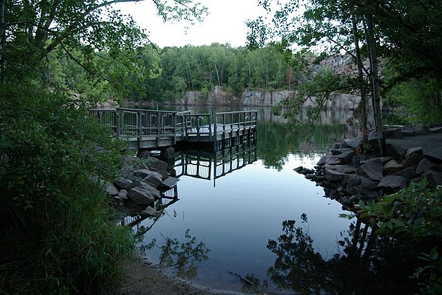 Quarry in Park (coshlea By.)Quarry · 861 yd
 St. Francis WellHoly well · 880 yd
 Galbally Bridgebridge · 922 yd
 Knockanebrack HillMountain / peak · 1.5 mi
 Site of Dungrot CastleCastle, unclassified · 1.9 mi
 Duntryleague HillMountain / peak · 2.1 mi
 Darby's Bed Walk LoopWalking route · 2.1 mi
 Assaroula WaterfallWaterfall · 2.8 mi
 Duntryleague - hachuredCastle, ringwork · 2.9 mi
 Giant's Rock - Rock of AglaishNamed rock · 2.9 mi
 Noel's NippleNamed rock · 3.6 mi
Other information
Photo: Credit not shown in the picture search · Rights wording not checked; contact us if this picture should be removed