What is recorded here
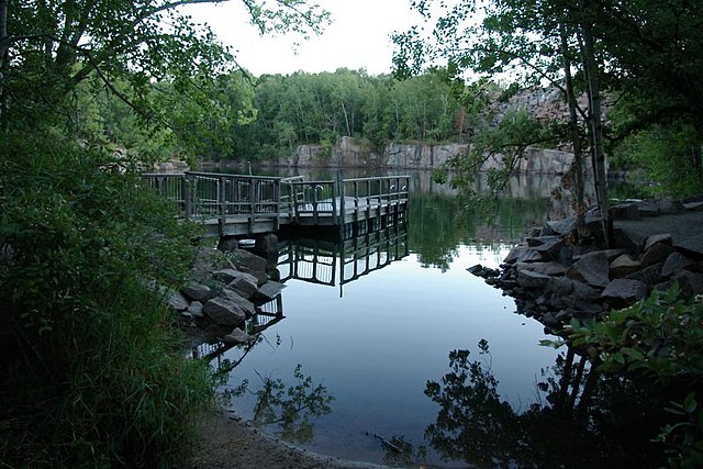
In pasture, immediately S of townland boundary with Ardnamoher and 50m S of the Aherlow River that forms County boundary with Tipperary. Associated with St. Francis holy well (LI049-087001-), Moor Abbey (TS073-011----) lies 130m to the N. Not marked on the 1840 ed. OSi 6-inch map. Shown on the 1897 ed. OSi 25-inch map as a sunken D- shaped area (dims. 11m N-S; 30m E-W) which probably represents the remains of a small quarry. Tree-covered area visible on Digital Globe orthoimage taken between 2011-13 and on Google Earth orthoimages. Probably the remains of a small quarry of post-1700 date.
See attached Google Earth orthoimages.
Compiled by: Fiona Rooney
Date of upload: 6 October 2021
The monument record does not grant public access. Check the route and ask the landowner before entering private land.
- What survives
- Recorded monument
Places near here
 St. Francis WellHoly well · 19 yd
 Galbally Bridgebridge · 65 yd
 Moor AbbeyReligious house, Franciscan friars · 152 yd
 Enclosure in Park (coshlea By.)Enclosure · 861 yd
 Knockanebrack HillMountain / peak · 1.6 mi
 Duntryleague HillMountain / peak · 1.9 mi
 Darby's Bed Walk LoopWalking route · 1.9 mi
 Site of Dungrot CastleCastle, unclassified · 2.0 mi
 Duntryleague - hachuredCastle, ringwork · 2.8 mi
 Giant's Rock - Rock of AglaishNamed rock · 3.1 mi
 Assaroula WaterfallWaterfall · 3.3 mi
 Bansha ForestForest · 3.7 mi
Other information
Photo: Credit not shown in the picture search · Rights wording not checked; contact us if this picture should be removed