What is recorded here
In flat reclaimed grassland in upland region with good views in all directions, with river running alongside N side of field. No surface remains visible of circular cropmark identified on aerial photograph (CUCAP BDR 57, 15 July 1970) though there is a natural depression close to the possible enclosure. Other cropmarks in field appear to be associated with drainage of the field rather than archaeological. Similar enclosure possible (TS055-066----) c. 1km to NW has a depression located close to the cropmark.
Compiled by: Jean Farrelly
Date of upload: 26 August 2011
The monument record does not grant public access. Check the route and ask the landowner before entering private land.
- What survives
- Recorded monument
Places near here
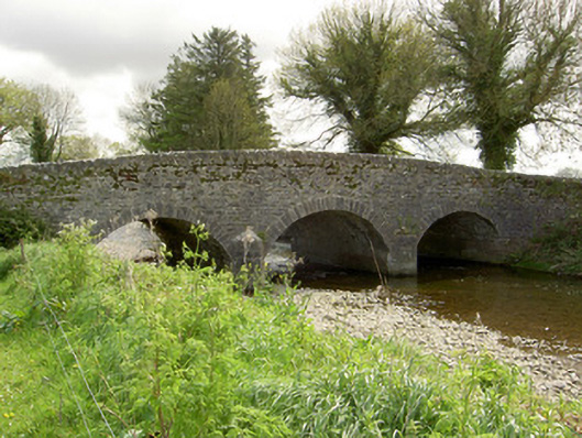 Islands Bridgebridge · 315 yd
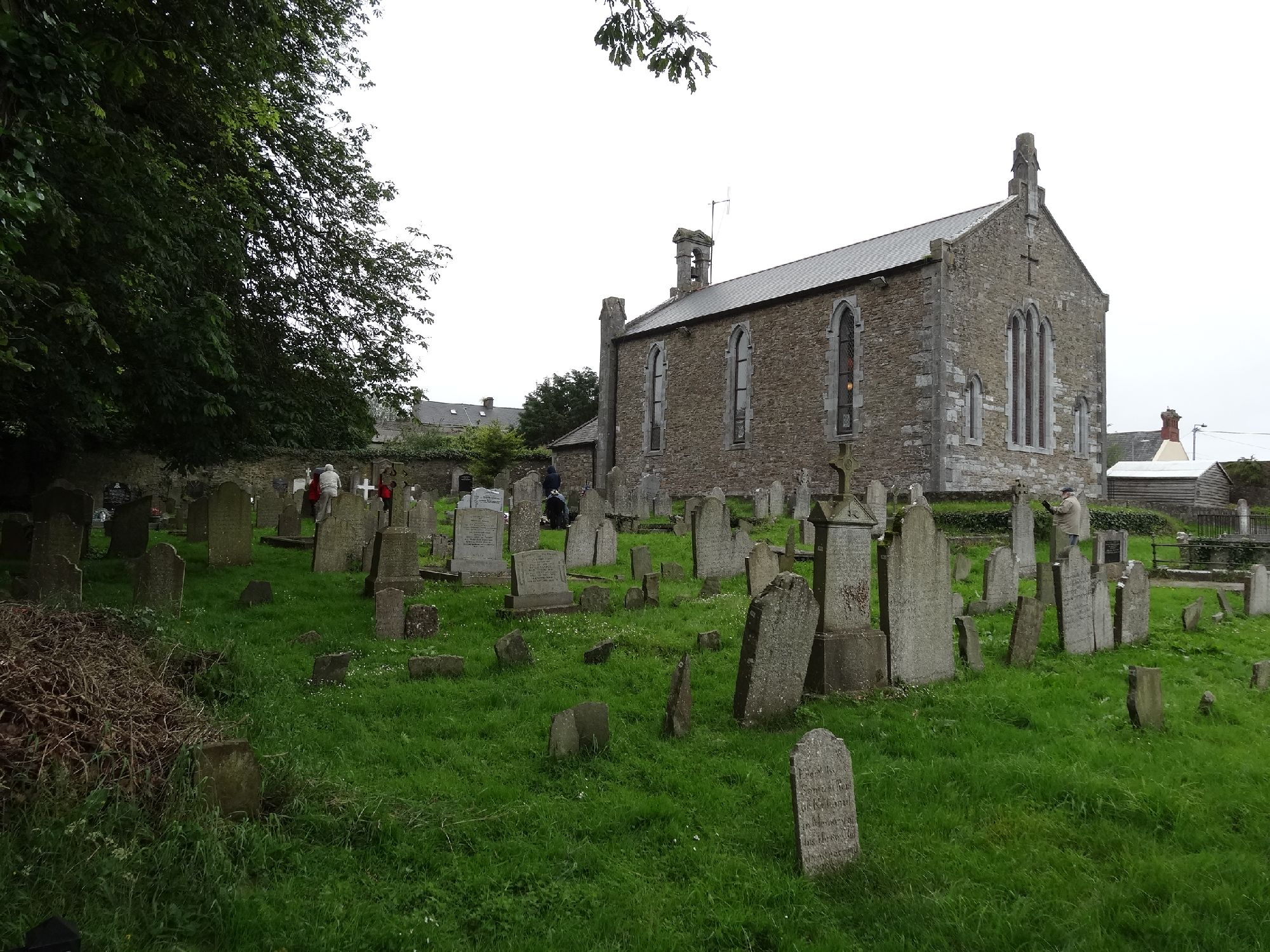 Church in GragaughChurch · 1.0 mi
 Enclosure in BallydonnellEnclosure · 1.2 mi
 Modeshil Castle (in ruins)Castle · 1.2 mi
 Crannlaght TreeRitual site, holy tree/bush · 1.3 mi
 Bawn in LismalinBawn · 1.3 mi
 Fenane WoodForest · 1.8 mi
 Pedunculate OakPedunculate Oak · 2.0 mi
 Knockuragh HillMountain / peak · 3.1 mi
 Edmund Rice Heritage CentreMuseum · 4.6 mi
 Callan Co-operative Agricultural & Dairy Society Ltd.Memorial · 4.8 mi
 Local LifeVisitor information · 4.9 mi