What is recorded here
At the SE tip of Inishdugh Island which is located in the River Moy, close to the mouth of the river. Inishdugh Island consists of a raised ridge of grass-covered ground which is defined on its land-edge by a vertical scarp (H 1.2-2m at S−NW) which rises to a high rocky cliff (H 5-6m) on the N-SE side. The island is leaf-shaped, narrowing from the broader NW end to a pronounced point at the SE end where it juts into the centre of the river. Two low banks, with an intervening fosse, extend in a shallow curve SE−W−N across the width of the island cutting off the SE tip and creating an enclosure (c. 75m NW−SE; max 67m NE−SW at NW end), which is roughly triangular in plan. The banks and fosse define the broad NW end of the triangle which is bordered on the NE and SW sides by the natural vertical scarp along the land-edge of the island. The enclosing banks are evident as low profile, grass-covered rises (Wth 2m; H 0.2-0.4m), with the fosse visible as a shallow, intervening depression (Wth c. 1.6m). A poorly-defined gap/low area (Wth 5-6m) roughly in the centre of the arc may be the site of an original entrance. There are also breaks (2-4m) between the terminals of the banks and the edge of the island, probably as a result of erosion/disturbance. The enclosed space encompasses a small natural hillock or spine of raised ground, with a flattened top (L c. 20-25m NNW−SSE; c. 10m) from where there is a gentle fall of ground to E and SE, and a steep fall of ground at S and W. The island lies 100m from the W bank of the river, and is easily reached from there on foot at low tide. It is located at a strategic position, just to the S of the point where the river abruptly widens into the estuary of Killala Bay. The elevated interior commands excellent views: N to Killala Bay, and S along the course of the river, with Rosserk abbey (MA022-082001-) in view 400m to SE, and Castleconnor hall-house (MA022-085003-) on the E bank of the river in the middle distance to SE.
At the SE tip of Inishdugh Island which is located in the River Moy, close to the mouth of the river. Inishdugh Island consists of a raised ridge of grass-covered ground which is defined on its land-edge by a vertical scarp (H 1.2-2m at S−NW) which rises to a high rocky cliff (H 5-6m) on the N-SE side. The island is leaf-shaped, narrowing from the broader NW end to a pronounced point at the SE end where it juts…
From the National Monuments Service (Archaeological Survey of Ireland) record MA022-125
The monument record does not grant public access. Check the route and ask the landowner before entering private land.
- What survives
- Recorded monument
Places near here
 Rosserk AbbeyHeritage attraction · 500 yd
 Hawthorn823 ydRinnachurry PointHeadland · 946 ydMount ReadyFairy fort / earthen ringfort · 1003 yd
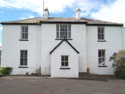 MoysdaleRectory/glebe/vicarage/curate's house · 1042 ydRathmulcah FortFairy fort / earthen ringfort · 1117 yd
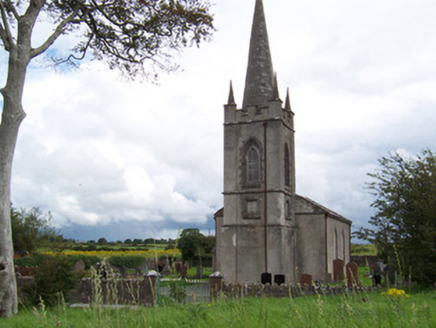 Killanly Church (Castleconor)Church/chapel · 1300 ydGoose IslandIslet · 1598 ydCastleconnor (in Ruins)Castle, hall-house · 1698 ydBallysakeery CastleCastle, unclassified · 1.1 miRinphilip PointHeadland · 1.4 mi
 Moyne AbbeyHeritage attraction · 2.4 mi
Pictures: Andreas F. Borchert, Wikimedia Commons · CC BY-SA 4.0; Didier Descouens, Wikimedia Commons · CC BY-SA 4.0; National Inventory of Architectural Heritage
More archaeology and monuments in County Mayo · All of County Mayo
What do you know about this place?