What is recorded here
Indicated on the 1st (1839) ed. OS 6-inch map and on the 1900 revision as a circular enclosure (diam. c. 33m). It is evident from satellite imagery (DigitalGlobe imagery; viewed 6 July 2020) that the monument has been levelled, though an outer fosse is visible in the N-NE sector. A deep drain running NW-SE has been cut across the W portion from the S of the monument to the NW.
Compiled by: Jean Farrelly
Date of upload: 6 July 2020
A local fairy fort (ringfort/rath); wider significance not recorded.
The monument record does not grant public access. Check the route and ask the landowner before entering private land.
- What survives
- Recorded monument
Places near here
 Site of CastleCastle, unclassified · 682 yd
 Tullaroan ChurchChurch · 906 yd
 Ladys WellHoly well · 1021 yd
 Tullaroan MotteArchaeological place · 1041 yd
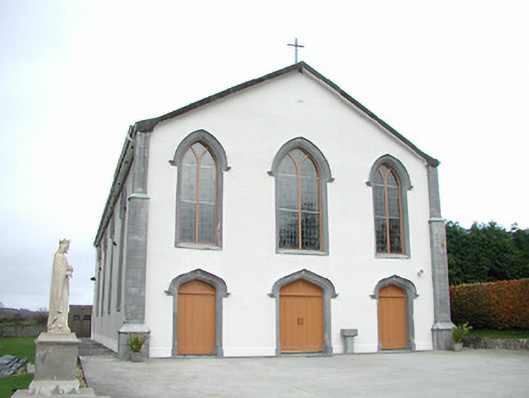 Catholic Church of the Assumptionchurch/chapel · 1439 yd
 CastleCastle, unclassified · 1.5 mi
 Killeen Fox CovertForest · 2.1 mi
 Ballykeeffe Mass RockNamed rock · 2.9 mi
 Ballykeefe WoodForest · 3.1 mi
 Ballykeefe QuarryCliff · 3.2 mi
 Ballykeefe AmphitheatreHeritage attraction · 3.2 mi
 Saint Brigid's WellSpring · 4.0 mi
Other information
Photo: Credit not shown in the picture search · Rights wording not checked; contact us if this picture should be removed