What is recorded here
Identified in geophysical survey (Earthsound, Licence Ref.: 16R0095). The presence of an enclosure was confirmed through test-excavation, along with a total of twelve Archaeological Areas. The oval enclosure (c.53m NS x 0.48m EW) was defined by a ditch (wth. 2m-2.5m), V-shaped in profile (depth: 1.25m-1.85m). The geophysical survey indicates an entrance to the enclosure located in the eastern portion of the monument. The ditch contained three fills with the basal fill formed by winkle and limpet shell deposits. Late Bronze Age coarse ware pottery sherds and a hammer stone were retrieved. Features within the interior include a pit, posthole, linear and irregular features (Bailey & McIlreavy 2016).
Compiled by: Christine Baker
Date of upload: 8 November 2021
The monument record does not grant public access. Check the route and ask the landowner before entering private land.
- What survives
- Recorded monument
Places near here
 Pit in HolmpatrickPit · 271 yd
 ExcavationExcavation, miscellaneous · 307 yd
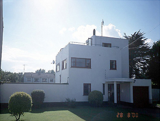 The White Househouse · 1319 yd
 Church (in Ruins)Church · 1388 yd
 Shenick IslandIslet · 1671 yd
 LoughshinnyVisitor information · 1.1 mi
 Skerries BeachVisitor information · 1.3 mi
 Castle (in ruins)Castle, Anglo-Norman masonry castle · 1.4 mi
 Skerries RockMemorial · 1.6 mi
 Colt IslandIslet · 1.6 mi
 Percy FrenchMemorial · 1.6 mi
 Ring-ditch in HacketstownRing-ditch · 543 yd