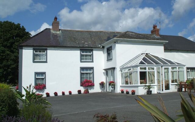
What is recorded here
On level ground in gently undulating terrain, under grass. View impeded to E and W by rising ground, elsewhere fair to good, though impeded by hedgerow and by forestry to S. The northern section of a meandering stream, visible on the 1st (1839) ed. OS 6-inch map, and which was immediately N of the monument, was subsequently straightened. The former medieval parish church of Tullaghanbrogue (KK023-030001-) (Carrigan 1905, vol. 3, 385-6), is located c. 240m to the W and there are numerous earthworks (KK023-031001-) in the immediate vicinity, including a motte (KK023-032----) c. 60m to the SW and a moated site (KK023-031004-) immediately to the W. Orpen (1909, 333) associates the motte with the manor of Tullaghanbrogue, and states that, ‘William de St. Leger also held the manor of Tullaghanbrogue, with which the St. Legers were connected up to Cromwellian times’. He goes on to say that to ‘the north-east of the mote [bretage], in the same field, the foundations of buildings are still traceable’ (ibid.).
A large roughly sub-rectangular enclosure (diam. 48m N-S; 60.5m E-W), defined by an earthen field boundary on the E side, by a broad flat-topped earthen bank (int. H 0.51m, ext. H 0.7m; Wth at top 5.8m; basal Wth 10.1m) in the S and W sectors and in the N sector by an inner bank (int. H 0.09m; ext. H 0.3m; Wth at top 1.8m; basal Wth 3.4m), fosse (Wth 2m; D 0.08m) and outer bank (ext. H 0.39m; Wth 3.1m). The area of the field S of this enclosure has a lot of earthworks, which appear to be the result of small scale quarrying activity.
Compiled by: Jean Farrelly
Date of upload: 21 March 2017
The monument record does not grant public access. Check the route and ask the landowner before entering private land.
- What survives
- Recorded monument
Places near here
 CastleCastle, unclassified · 105 yd
 Grave Yd.Graveyard · 346 yd
 Enclosure in KyleandanganEnclosure · 1385 yd
 Church Hill National Schoolschool · 1430 yd
 Catholic Church of the Holy Crosschurch/chapel · 1454 yd
 Ballybur CastleCastle, tower house · 1.3 mi
 Millennium WoodWood · 1.4 mi
 Saint Brigid's WellSpring · 1.4 mi
 GreatwoodForest · 1.9 mi
 Burnchurch CastleVisitor information · 2.1 mi
 The N76 Callan Road Realignment SchemeMemorial · 2.4 mi
 Richie DelaneyMemorial · 2.5 mi
Other information
Photo: Credit not shown in the picture search · Rights wording not checked; contact us if this picture should be removed