What is recorded here
In wet pasture, on an elevated ridge. Circular area (dims. 19m NW-SE; 20m NE-SW) defined by the remains of a levelled scarp (Wth 3.5m-4.75m; H 0.4m) which is best defined from SW-SE. The interior is grass covered and uneven.
Compiled by: Jean Farrelly
Date of upload: 26 August 2011
The monument record does not grant public access. Check the route and ask the landowner before entering private land.
- What survives
- Recorded monument
Places near here
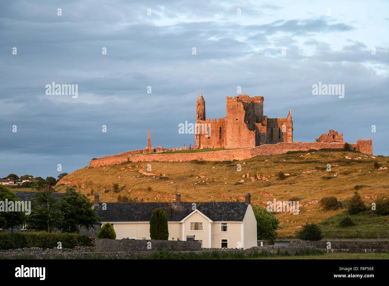
 Carron FortArchaeological place · 275 yd
 Site of Kyle ChurchChurch · 379 yd
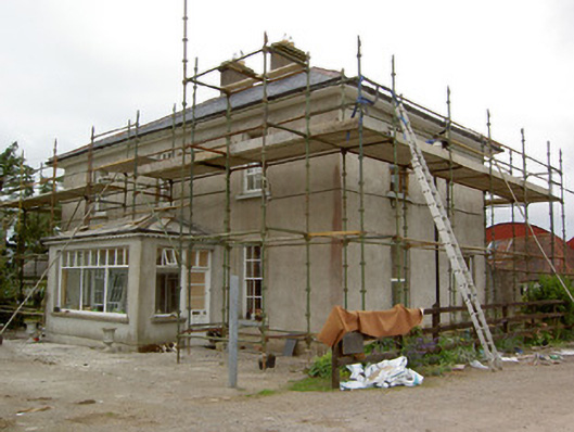 Greenrath Househouse · 956 yd
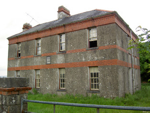 Victoria Houseoffice · 1592 yd
 MoatCastle, motte and bailey · 1.0 mi
 Mutton Pie HillCastle, motte · 1.2 mi
 Soloheadbeg Ambush SiteMemorial · 1.2 mi
 The Maid of ErinMemorial · 1.6 mi
 It's a long way to TippereryHeritage attraction · 1.7 mi
 Soloheadbeg Ambushambush · 1.9 mi
 European ashEuropean ash · 3.4 mi
 Oola HillMountain / peak · 3.8 mi