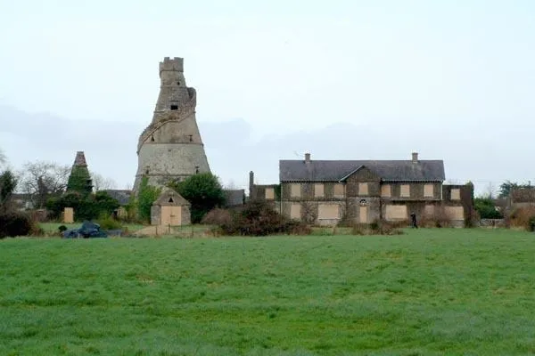
What is recorded here
Aerial photographs (CUCAP AVM 11; AYL 71) show cropmarks of fosses surrounding a circular areas (est. max diam. c. 45m) with several small sub-rectangular fields extending to SE (see field system No.).
Date of upload: 8 September 2016
A local fairy fort (ringfort/rath); wider significance not recorded.
The monument record does not grant public access. Check the route and ask the landowner before entering private land.
- What survives
- Recorded monument
Places near here
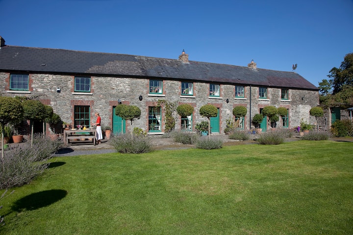 Enclosure in Grangerosnolvan UpperEnclosure · 416 yd
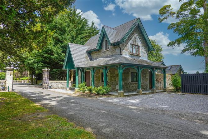 Enclosure in Kilkea Lodge FarmEnclosure · 844 yd
 Church in Kilkea LowerChurch · 1195 yd
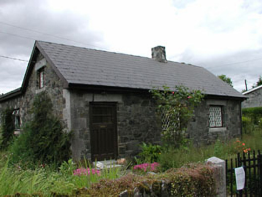 worker's houseworker's house · 1321 yd
 MoatCastle, motte · 1.0 mi
 Dollardstown WoodForest · 1.4 mi
 Mullaghreelan WoodForest · 1.6 mi
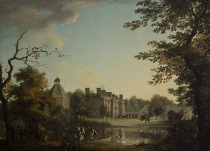 Belan HouseCastle, unclassified · 1.6 mi
 Lorcán Ó TuathailMemorial · 1.8 mi
 ProclamationMemorial · 3.9 mi
 Castledermot Round TowerHeritage attraction · 4.0 mi
 Franciscan FriaryHeritage attraction · 4.1 mi
Other information
Photo: Credit not shown in the picture search · Rights wording not checked; contact us if this picture should be removed