
What is recorded here
Ardaghlooda is a rocky ridge above Lough Gur where several ancient enclosures still mark the grass. The middle one is a shallow circular bank, narrow enough to walk across in a breath, yet it has outlived every field line laid across it. People may have lived there before roads or farms touched the hill, but no name or date has survived to tell us who they were.
On rocky pasture on Ardaghlooda, a rocky ridge overlooking Lough Gur, 110m W of the lake within a dense concentration of archaeological monuments including standings stones (LI032-009/010002-). One of three enclosures on the hill (LI032-011001/002-/004-), enclosure (LI032-011002-) located on the summit 95m to NNE, enclosure (LI032-011004-) located 15m to N. The great stone circle at Grange (LI032-004001-) is located 350m to SW. The site pre-dates a later historic field system (LI032-011003-) which overlies the enclosures (LI032-011001-/002/004-). A historic road (LI032-010001-) known as 'Cladh na Leac' skirts around the W side of the hill 100m from the enclosure.
The enclosure is not depicted on the 1840 ed. OSi 6-inch, 1897 ed. OSi 25-inch or on the Cassini OSi 6-inch maps. It is faintly visible on OSi orthoimage taken 2005-12 and on the Digital Globe orthoimage taken 2011-2013. Grogan (1989, Vol. 2, 9, Vol. 3, Figs. 4-5) describes the site as a ‘habitation enclosure...... the site is circular and is 25m in maximum diameter’. The site is visible on Google Earth orthoimage taken 16/03/2016 and 25/03/2017 and survives as a circular enclosure (ext. diam. 19m N-S; 17.5m E-W) bisected by a later E-W field boundary that forms part of relic field system (LI032-011003-). The enclosure is defined by a low bank.
See attached Google Earth orthoimages
Compiled by: Edmond O’Donovan
Date of upload: 3 November 2020
The monument record does not grant public access. Check the route and ask the landowner before entering private land.
- What survives
- Recorded monument
Places near here
 Field system in Grange (smallcounty By.)Field system · 82 yd
 Lough Gur Standing StoneArchaeological place · 133 yd
 Cladh na LeacRoad, road/trackway · 231 yd
 Garret IslandCastle, unclassified · 416 yd
 Grange Stone CircleArchaeological place · 428 yd
 Lough GurVisitor information · 469 yd
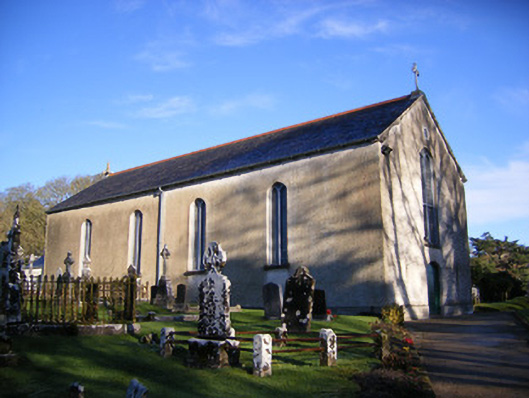 Catholic Church of Saint Patrick and Saint Brigidchurch/chapel · 491 yd
 Bawn in Grange (smallcounty By.)Bawn · 795 yd
 Pedunculate OakPedunculate Oak · 1284 yd
 The SpectaclesVisitor information · 1486 yd
 Lough Gur Heritage CentreVisitor information · 1503 yd
 Glen BogForest · 2.2 mi
Other information
Photo: Credit not shown in the picture search · Rights wording not checked; contact us if this picture should be removed