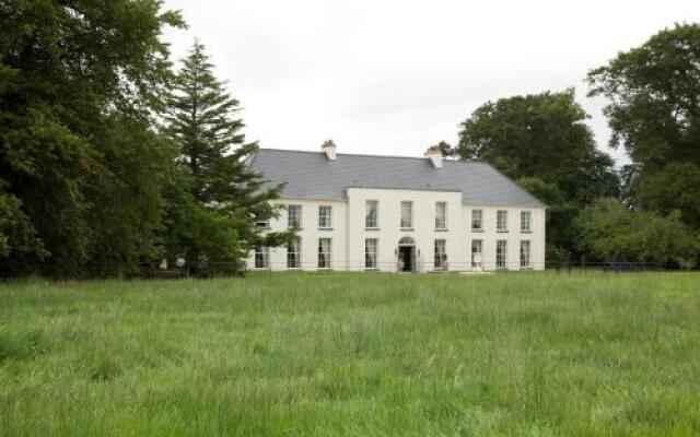
What is recorded here
An aerial photograph (GB89.Z.25, 12 July 1989) shows a cropmark of a circular enclosure (diam. c. 30m) defined by a fosse, located within the demesne of Grange House on the 1st (1839) ed. OS 6-inch map. Although no tree-ring is marked, there is a possibility that this feature could be demesne landscaping. An oval feature is indicated roughly at this location the 1947 revision of the OS 6-inch map, indicated within marshy terrain. A house was subsequently immediately W of the enclosure.
See attached:
KK023-132----_01 aerial photograph (GB89.Z.25, 12 July 1989)
Compiled by: Jean Farrelly and Dr. Gillian Barrett for the Archaeological Survey of Ireland
Date of revised upload: 13 September 2021
A local fairy fort (ringfort/rath); wider significance not recorded.
The monument record does not grant public access. Check the route and ask the landowner before entering private land.
- What survives
- Recorded monument
Places near here
 Millennium WoodWood · 1297 yd
 Saint Brigid's WellSpring · 1526 yd
 Grave Yd.Graveyard · 1637 yd
 CastleCastle, unclassified · 1704 yd
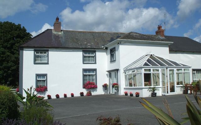 Enclosure in Grove (shillelogher By.)Enclosure · 1706 yd
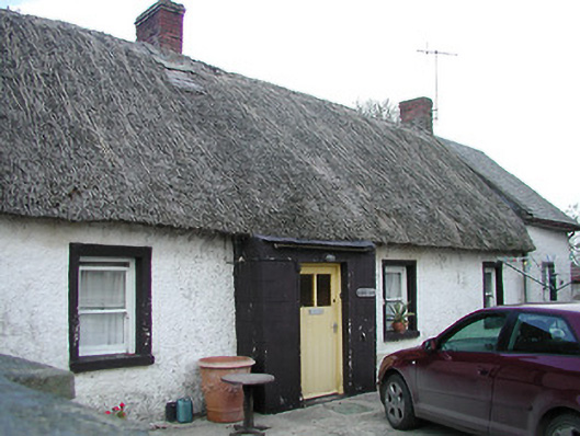 The Thatchhouse · 1.4 mi
 Catholic Church of the Holy Crosschurch/chapel · 1.5 mi
 Castle (in ruins)Castle, unclassified · 1.7 mi
 GreatwoodForest · 2.2 mi
 Richie DelaneyMemorial · 2.2 mi
 Ballykeeffe Mass RockNamed rock · 2.3 mi
 The N76 Callan Road Realignment SchemeMemorial · 2.4 mi
Other information
Photo: Credit not shown in the picture search · Rights wording not checked; contact us if this picture should be removed