What is recorded here
Reported by Jean-Charles Caillere. Visible on Google Earth imagery (11-8-2022) in level pasture as a large oval area (max. diam. c. 58m N-S; c. 44m E-W) defined by the cropmark of a wide (Wth c. 2-5m) fosse. Approximately 100m to the NE, three Early Bronze Age graves (KD040-011----) were excavated in 1953.
See attached image: KD040-076----_01 Snip of Google earth image (11-8-2022).
Compiled by: Gearóid Conroy
Date of upload: 31 July 2023
The monument record does not grant public access. Check the route and ask the landowner before entering private land.
- What survives
- Recorded monument
Places near here
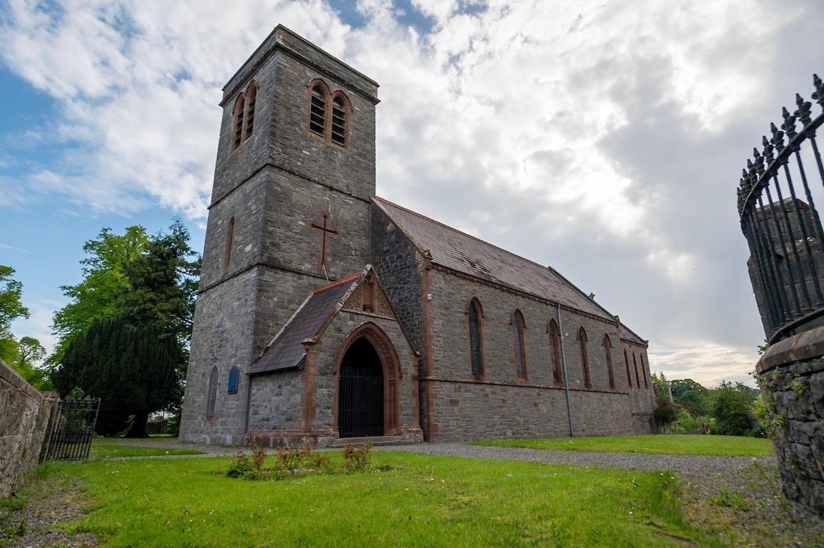 Enclosure in Davidstown (pilsworth)Enclosure · 571 yd
 CastleCastle, unclassified · 595 yd
 Holy well in Graney EastHoly well · 1082 yd
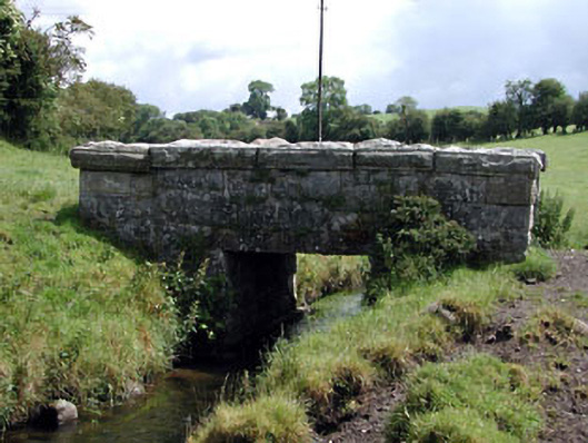 foot bridgefoot bridge · 1122 yd
 Nunnery (in Ruins)Religious house, Augustinian, of Arrouaise nuns · 1234 yd
 Castledermot Round TowerHeritage attraction · 1.5 mi
 Franciscan FriaryHeritage attraction · 1.6 mi
 Partially OutlinedCastle, unclassified · 1.7 mi
 ProclamationMemorial · 1.9 mi
 Church (in ruins), Cross, GraveyardChurch · 2.7 mi
 European ashEuropean ash · 3.0 mi
 Cork oakCork oak · 3.3 mi