What is recorded here
In grassland on a S-facing slope of rising ground in upland area with good views in all directions. No surface remains visible of any enclosure in area marked on the OS 6-inch map. According to local information this was the site of a ringfort enclosed by two or possibly three bank (SMR correspondence, 1991). May have been the ringfort described by Bersu in 1947 as a 'simple single ring-fort, destroyed by the landowner. 25-35 yards [22.8-32m] in diameter, 5ft [1.5m] above the level of the surrounding land surrounded by a steep embankment and a moat which is about 12 or 13ft [3.65-3.96m] at its deepest point. There are traces of an ancient road passing nearby' (NMI Correspondence Registers IA/259/47).
Compiled by: Jean Farrelly
Date of upload: 26 August 2011
The monument record does not grant public access. Check the route and ask the landowner before entering private land.
- What survives
- Recorded monument
Places near here
 RoadRoad, road/trackway · 114 yd
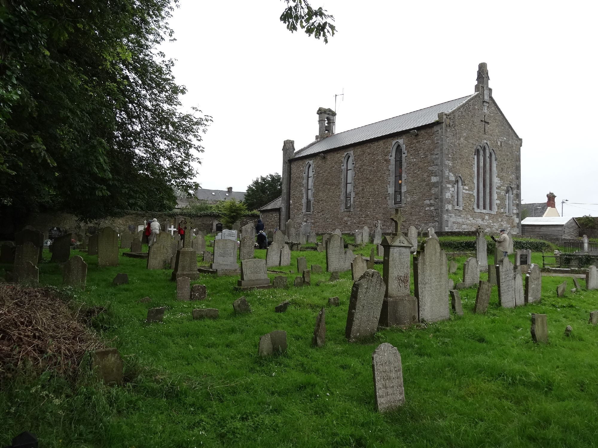 Church in GragaughChurch · 164 yd
 Bawn in LismalinBawn · 1732 yd
 Enclosure in MohoberEnclosure · 1.3 mi
 IndicatedEnclosure · 1.4 mi
 Modeshil Castle (in ruins)Castle · 2.3 mi
 Pedunculate OakPedunculate Oak · 2.4 mi
 Top Field at Carey'sForest · 2.5 mi
 Knockuragh HillMountain / peak · 3.2 mi
 Warhouse HillMountain / peak · 4.1 mi
 Derrynaflan TrailHeritage attraction · 8.2 mi
 Gobban Saer's GraveArchaeological place · 9.1 mi