
What is recorded here
On a SSW-facing slope, in rough pasture with frequent outcropping rock and loose moss-covered boulders. A circular area (15m N-S; 14m E-W) defined by a stone wall (int. H 0.45m; ext. H 0.4-0.8m; Wth at top 4-5m; overall Wth 5.7m) NW-SW which is reduced to scarp (Wth 2m; H 0.4m) SW-NW. All stones are moss covered. The interior is level and grass covered. A farm trackway is located c. 5m to W. A cashel (CL033-060001-) is located c. 47m to SW.
The following images have been uploaded:
CL033-192----_01.jpg From N. General view of monument.
CL033-192----_02.jpg From E. General view of monument.
CL033-192----_03.jpg From NE. Cross-section view of bank at SE.
Compiled by: Mary Tunney, Alison McQueen and Vera Rahilly
Date of upload: 17 December 2018
A local fairy fort (ringfort/rath); wider significance not recorded.
The monument record does not grant public access. Check the route and ask the landowner before entering private land.
- What survives
- Recorded monument
Places near here
 Shallee Castle (in Ruins)Castle, tower house · 699 yd
 Bushypark Househouse · 858 yd
 Cross in Croaghaun (inchiquin By.)Cross · 890 yd
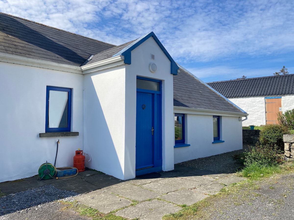 Hilltop enclosure in Ballyneillan (inchiquin By.),bushyparkHilltop enclosure · 1230 yd
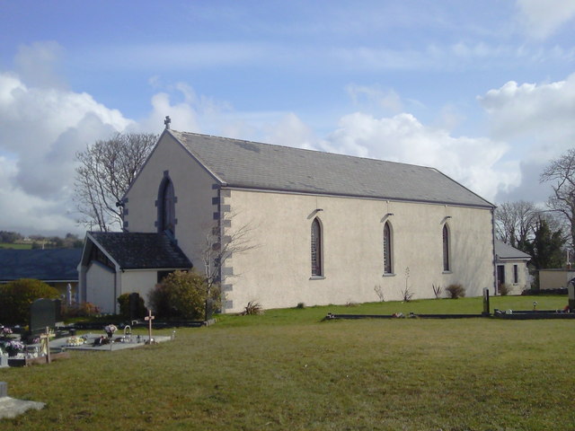 Saint Joseph's Catholic Churchchurch/chapel · 1.3 mi
 Poul na gollorCave · 1.8 mi
 Magowna CastleCastle · 1.9 mi
 Post Office FieldNature reserve · 2.8 mi
 Ennis AbbeyMuseum · 3.0 mi
 Clare MuseumMuseum · 3.0 mi
 Alice and Gwendoline CaveMuseum · 3.2 mi
 Rockmount WoodWood · 3.4 mi
Other information
Photo: Credit not shown in the picture search · Rights wording not checked; contact us if this picture should be removed