What is recorded here
In improved, undulating pasture, on a WNW-facing slope of a low rise. A sub-oval area (dims. c. 35m WNW-ESE; c. 30m NNE-SSW) defined by a bank (overall Wth 5.75m; top Wth 2.2m; int. H 0.25m; ext. H 0.65m) and the remains of a shallow fosse (Wth 5.8m; D 0.15m). Both the bank and fosse are only visible intermittently due to dense vegetation cover. The interior is overgrown and inaccessible due to impenetrable briars. The edge of the monument was slightly truncated by a field boundary, running NE-SW, in the SE sector as depicted on the 1904 edition OS 6-inch map. The field boundary to the W has been removed.
Compiled by: Jean Farrelly
Date of upload: 26 August 2011
This remains an important historical record, but the official description says the monument is no longer visible or has been destroyed. The monument record does not grant public access. Check the route and ask the landowner before entering private land.
- What survives
- No visible remains or recorded as destroyed
Places near here
 Enclosure in AttybrickEnclosure · 448 yd
 FarranaraheenEnclosure · 856 yd
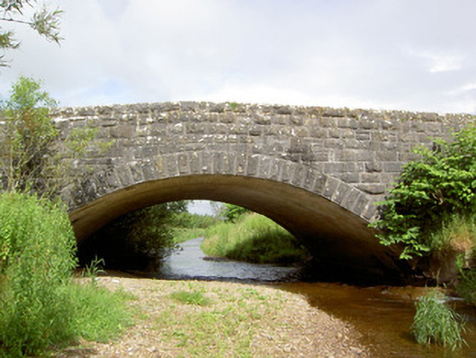 Morpeth Bridgebridge · 861 yd
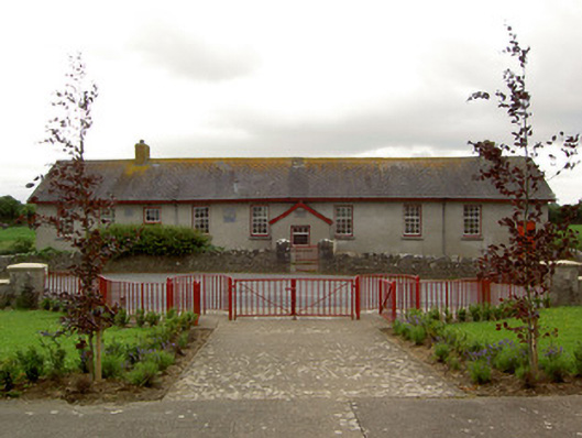 Curraghpoor Schoolschool · 1084 yd
 Site of CastleCastle, unclassified · 1541 yd
 Maudemount BogWood · 1.4 mi
 Dundrum Woods (Marl Bog)Forest · 1.6 mi
 Shanbally fortCastle, ringwork and bailey · 2.3 mi
 Soloheadbeg Ambushambush · 3.3 mi
 Soloheadbeg Ambush SiteMemorial · 3.7 mi
 I.R.A. 3rd. Tipperary Brigade MemorialMemorial · 4.6 mi
 It's a long way to TippereryHeritage attraction · 5.2 mi