What is recorded here
In improved undulating pasture, on a high ridge between two large natural hollows. Remains of a circular area (dims. 16m N-S; c. 14m E-W) defined by scarp (Wth 4.2m; H 0.4m) S-NNW and levelled NNW-S. The interior is grass covered and level. The remains of a former field boundary (Wth 2.3m; H 0.1m; L 12m; long axis NE-SW) abuts the monument to the SE.
Compiled by: Jean Farrelly
Date of upload: 26 August 2011
The monument record does not grant public access. Check the route and ask the landowner before entering private land.
- What survives
- Recorded monument
Places near here
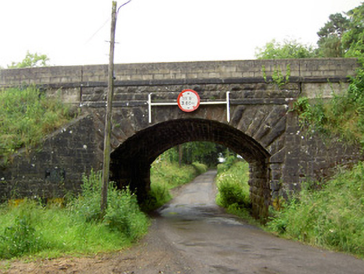 Ballyrobin Bridgebridge · 984 yd
 TemplemacduaghChurch · 1143 yd
 Enclosure in Pallas (donohill Par.)Enclosure · 1327 yd
 Site of Kilpatrick ChurchChurch · 1437 yd
 Maudemount BogWood · 1.3 mi
 Site of CastleCastle, unclassified · 1.5 mi
 Donohill MoatCastle, motte and bailey · 1.7 mi
 Dundrum Woods (Marl Bog)Forest · 1.8 mi
 Soloheadbeg Ambushambush · 2.9 mi
 Soloheadbeg Ambush SiteMemorial · 3.4 mi
 I.R.A. 3rd. Tipperary Brigade MemorialMemorial · 4.7 mi
 It's a long way to TippereryHeritage attraction · 5.2 mi