What is recorded here
On level ground overlooking a gentle W-facing slope. A slightly raised area (diam. c. 80m) defined to N and S by a marked drop within which is a burial ground (WI021-042001-) and a font base (WI021-042002-).
Compiled by: Mary Tunney
Date of upload: 5 December 2012
This monument is subject to a preservation order made under the National Monuments Acts 1930 to 2014 (PO no. 122/1940).
The monument record does not grant public access. Check the route and ask the landowner before entering private land.
- What survives
- Recorded monument
Places near here
 Font in GoldenfortFont · 1 yd
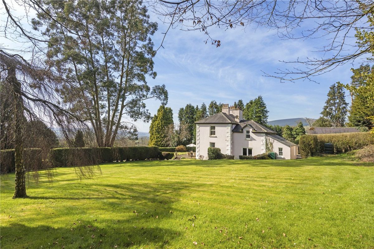 Goldenfort HouseRuins · 434 yd
 IndicatedEnclosure · 686 yd
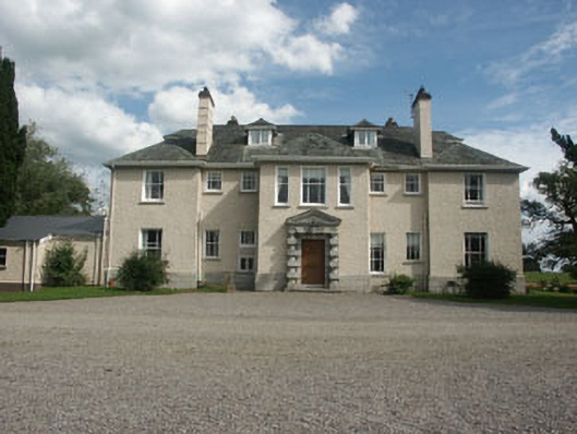 Saundersgrovecountry house · 1209 yd
 Ballyhook HillMountain / peak · 1.3 mi
 Tinoran HillMountain / peak · 1.8 mi
 Bawn in Ballintruer BegBawn · 2.5 mi
 Grangecon Castle (in ruins)Castle, tower house · 2.5 mi
 English hollyEnglish holly · 3.4 mi
 Saint Brigit's Mass StoneNamed rock · 3.7 mi
 Saint Brigit's ChairNamed rock · 3.8 mi
 Sam McAllistair GraveMemorial · 4.0 mi