What is recorded here
On the NW edge of an area of raised upland bog, subsequently reclaimed, in pasture though surrounded by forestry plantations. Land falls away to the Multeen River c. 330m to the NW. A rectangular enclosure (dims. c. 76m NW-SE; c. 30m NE-SW) visible on satellite imagery (Google Earth satellite imagery, 20 January 2020), identified and reported by Jean-Charles Caillère. There are two roughly square enclosures (dims. c. 13-15m x 13-15m) in the NW sector, utilizing the outer wall of the enclosure and another similar enclosure projecting NE from the larger enclosure, immediately NE of the lower of the two square enclosures. There is a possible building (dims. c. 11m x 5m) forming the NW end of the SW wall of the larger enclosure and a curving bank (L c. 50m) c. 16m SW of this which may be a short trackway. These features are not on any edition of the OS maps and thus appear to predate the 1st ed. (1840) map. This is probably a pre-1840 farmyard with associated paddocks.
See attached:
TS051-054----_01 Google Earth image (imagery date 20 January 2020)
Compiled by: Jean Farrelly
Date of upload: 2 February 2022
The monument record does not grant public access. Check the route and ask the landowner before entering private land.
- What survives
- Recorded monument
Places near here
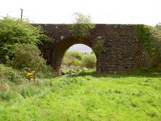 Scarrough Bridgebridge · 1.2 mi
 Ballysheeda Castle (in Ruins)Castle, tower house · 1.9 mi
 CastleCastle, unclassified · 2.0 mi
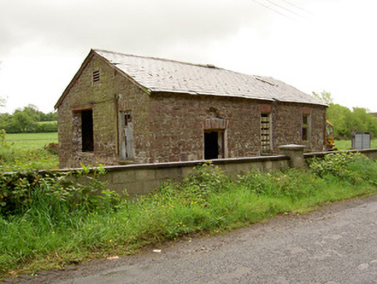 Ironmills Creamerycreamery · 2.0 mi
 Liscaun (Site of)Enclosure · 2.1 mi
 Field system in Carrow (donohill Par.)Field system · 2.1 mi
 Gortard WoodForest · 2.1 mi
 Green Field ParkWood · 2.8 mi
 LackenacreenaMountain / peak · 2.9 mi
 GlenaneaghMountain / peak · 3.6 mi
 ToberagaddySpring · 9.5 mi
 Slieve Felim WayWalking route · 10 mi