What is recorded here
Glennagarraun holds a forgotten oval chamber where a field wall now strangles the western edge. The ridge itself may have completed the circle, suggesting humans borrowed natural shape rather than fighting it. A ringfort watches from eighty metres south, creating a strange layered defence across the grassland. What was enclosed there has vanished, leaving only a scarp and the possibility that people once valued the hidden boundary between visibility and concealment.
On a ridge in undulating grassland. Very poorly preserved oval enclosure (N-S 26.1m, E-W 19.6m) defined by a scarp from SW through W to N. The E limits may have followed the natural slope of the ridge. Faint traces of an external fosse exist at S and also a possible causeway. A field wall encroaches upon the monument at W, and collapsed stone at this point obscures traces of the enclosing element. A ringfort (GA042-134----) lies 80m to S.
The above description is derived from the published 'Archaeological Inventory of County Galway Vol. II - North Galway'. Compiled by Olive Alcock, Kathy de hÓra and Paul Gosling (Dublin: Stationery Office, 1999).
Date of upload: 05 August 2010
The monument record does not grant public access. Check the route and ask the landowner before entering private land.
- What survives
- Recorded monument
Places near here
 LisheenArchaeological place · 689 yd
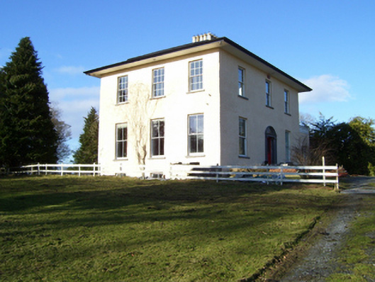 The Rectoryrectory/glebe/vicarage/curate's house · 806 yd
 DoonFairy fort / earthen ringfort · 992 yd
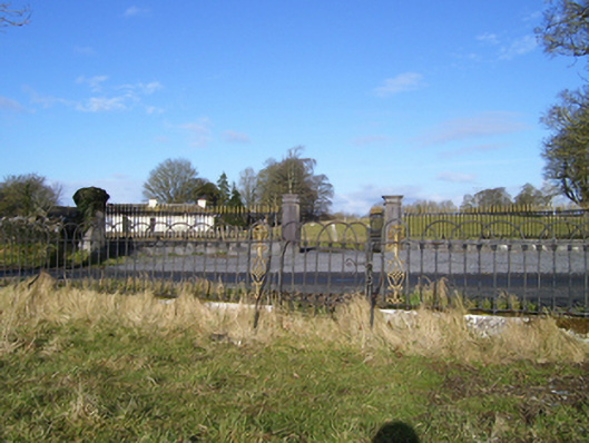 Moyne Hilldemesne walls/gates/railings · 1117 yd
 Headford CastleCastle, unclassified · 1.2 mi
 Moyne Castle in ruinsCastle, unclassified · 1.3 mi
 Ross Errilly FriaryHeritage attraction · 1.7 mi
 Cregg PlantationForest · 3.4 mi
 Pesooge PlantationForest · 3.5 mi
 Kilcoona Round TowerHeritage attraction · 3.7 mi
 Walsh's IslandIslet · 4.6 mi
 Freeheen IslandIslet · 6.0 mi