
What is recorded here
Glenmore enclosure in County Louth is a circular area up to 34m across, marked as a fort on the 1835 OS map, with faint traces of a fosse still visible. It may have been a home, a refuge or a boundary for people whose names are lost. The earth remembers the shape even when the story has faded.
The following description is derived from both the published 'Archaeological Inventory of County Louth' (Dublin: Stationery Office, 1986) and the 'Archaeological Survey of County Louth' (Dublin: Stationery Office, 1991). In certain instances the entries have been revised and updated in the light of recent research.
Date of upload/revision: 17 July 2007
Marked as 'fort' on 1835 ed. of OS 6-inch map. Traces of possible fosse enclosing a circular area (max. diam. 34m NW-SE).
The monument record does not grant public access. Check the route and ask the landowner before entering private land.
- What survives
- Recorded monument
Places near here
 R.C. ChapelChurch · 588 yd
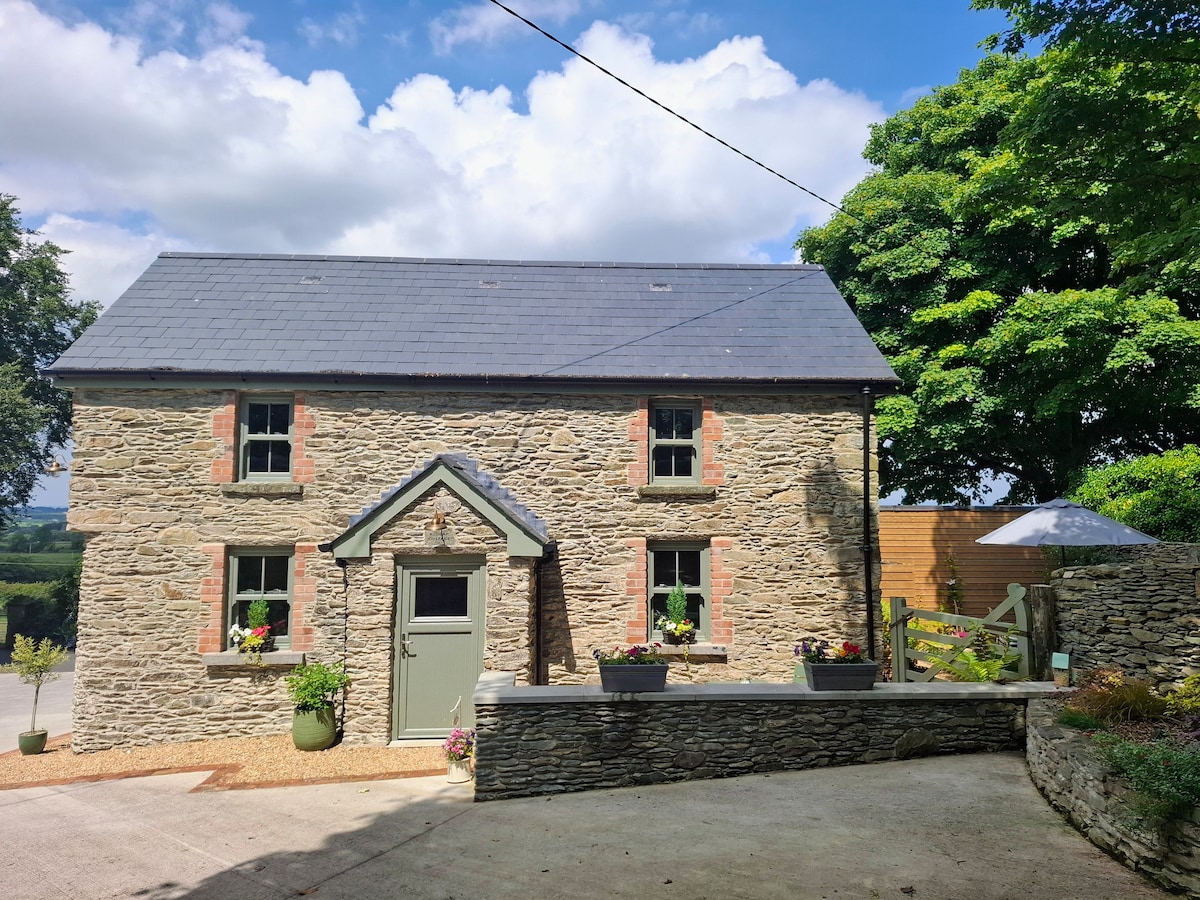 Hut site in CastletowncooleyHut site · 840 yd
 Cliff-edge fort in CastletowncooleyCliff-edge fort · 953 yd
 BarnavaveMountain / peak · 1518 yd
 Grange UpperMountain / peak · 1.0 mi
 Cooley CastleCastle, tower house · 1.2 mi
 Castletown Househouse · 1.3 mi
 Carlingford - Loop 1A- Commons LoopWalking route · 1.6 mi
 Mount Bagnell FoerCastle, motte and bailey · 1.8 mi
 Carlingford - Slieve Foye LoopWalking route · 1.8 mi
 Carlingford Heritage CentreVisitor information · 1.9 mi
 Graveyard in Liberties OF CarlingfordGraveyard · 1.9 mi
Other information
Photo: Credit not shown in the picture search · Rights wording not checked; contact us if this picture should be removed