What is recorded here
In poorly drianed grassland on a SE-facing slope of E-W ridge in upland area with stream immediately to the S and E with a ringfort 20m to the W and a levelled stone circle (TS054-011001-) 65m to the W. Monument visible on aerial photograph (GSI S. 578/7, 8-4-1974) as large roughly square enclosure (diam. c. 40m). Field inspection (3 Sept. 2003) describes a poorly defined rectangular area (approx. dims. 25m N-S; 20m E-W) enclosed by a poorly preserved and much degraded earthen bank visible on N and E sides only, no evidence of an outer fosse or entrance feature. This description seems to relate to a quadrant within the larger square enclosure. It is possible that the larger square enclosure and the internal sub-divisions may be a field dating to the 18th/19th-century rather than an archaeological monument.
Compiled by: Jean Farrelly
Date of revised upload: 25 August 2015
The monument record does not grant public access. Check the route and ask the landowner before entering private land.
- What survives
- Recorded monument
Places near here
 Waterloo HillMountain / peak · 72 yd
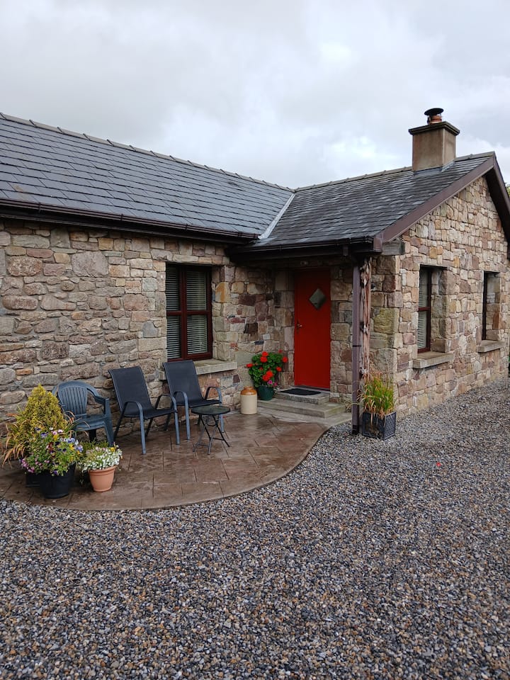 Enclosure in Glengoole SouthEnclosure · 133 yd
 RoadRoad, road/trackway · 796 yd
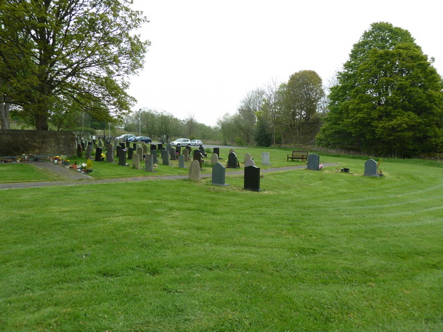 Grave YardHoly well · 965 yd
 Ballinalacken Church (in ruins)Church · 1005 yd
 CastleCastle, ringwork · 1.7 mi
 Bog Castle (in Ruins)Castle, unclassified · 2.1 mi
 Derrynaflan TrailHeritage attraction · 2.4 mi
 Slieveardagh Heritage CentreVisitor information · 2.5 mi
 Gobban Saer's GraveArchaeological place · 3.6 mi
 Eagle HillMountain / peak · 4.0 mi
 Sweet ChestnutSweet Chestnut · 4.5 mi