
What is recorded here
An aerial photograph (FSI 3.660/659) taken in 1971 shows an oval enclosure (ext. dims c. 56m NNW-SSE) with an internal fosse and outer bank. The enclosure site was situated in pasture on a S facing slope above the Glencullen river. The enclosure is not visible at ground level.
Compiled by: Geraldine Stout and Padraig Clancy.
Revised upload on: 21 April 2018.
The monument record does not grant public access. Check the route and ask the landowner before entering private land.
- What survives
- Recorded monument
Places near here
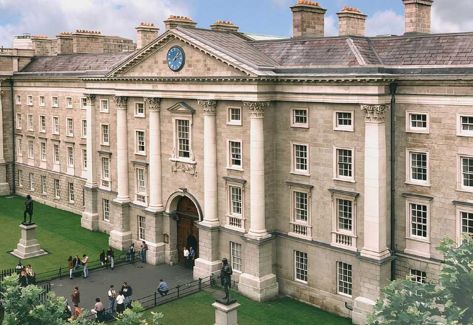 Enclosure in BallybetaghEnclosure · 360 yd
 Enclosure in KillegarEnclosure · 415 yd
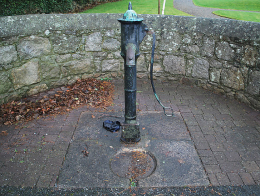 water pumpwater pump · 934 yd
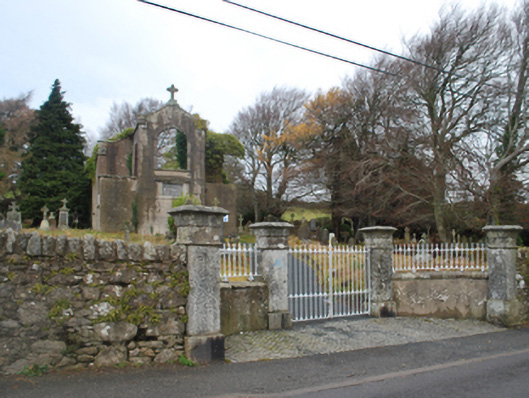 Saint Patrick's Catholic Chapelchurch/chapel · 938 yd
 Ballybetagh WoodForest · 1326 yd
 Barnaslingan HillMountain / peak · 1.2 mi
 Barnaslingan - Scalp Lookout TrailWalking route · 1.3 mi
 Barnaslingan - Pine loop trailWalking route · 1.4 mi
 Ballycorus castle Site ofCastle, tower house · 1.6 mi
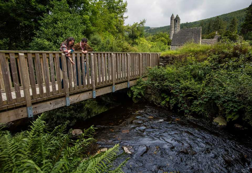 Anacrivey WoodForest · 1.6 mi
 Prince William's SeatMountain / peak · 1.7 mi
 IndicatedEnclosure · 439 yd
Other information
Photo: Credit not shown in the picture search · Rights wording not checked; contact us if this picture should be removed