What is recorded here
Four raths, one large and three small, are recorded in a field called the Raheens within Glencoum, yet the field and its boundaries have vanished from later mapping. They likely stood as quiet markers of ownership or shelter before the land was reordered, but their exact positions are no longer known. The name Raheens still carries the shape of what disappeared, preserving a temporary arrangement that human hands once made visible.
In relation to Glencoum townland, O'Kelly (1969, 76) mentions, 'A large rath [KK025-031----] and three small ones are in a field called the Raheens'. The location of the later field is unknown. No other 'raths'/enclosures are indicated in this townland on the 1st (1839) or 1900 revision of the 6-inch OS map. The location of these enclosures within the townland is unknown.
Compiled by: Jean Farrelly
Date of upload: 7 March 2021
The monument record does not grant public access. Check the route and ask the landowner before entering private land.
- What survives
- Recorded monument
Places near here
 EnclosureEnclosure, large enclosure · 715 yd
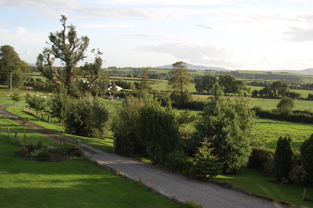 CroghanMountain / peak · 1034 yd
 IndicatedEnclosure · 1748 yd
 Church (in ruins)Church · 1.6 mi
 CastleCastle, motte · 1.8 mi
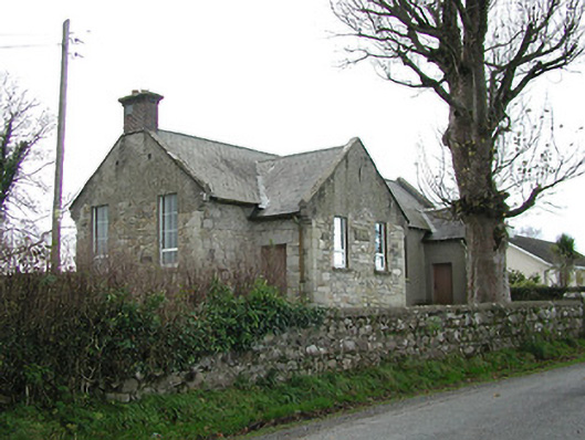 Skeaghvasteen National Schoolschool · 1.8 mi
 Barleagh WoodForest · 1.8 mi
 The Burrow FieldForest · 2.3 mi
 Drumroe Castle (ruins)Castle · 3.1 mi
 Monastic MillsMemorial · 3.1 mi
 Assembly RoomsMemorial · 3.2 mi
 Freney's WellSpring · 3.6 mi