What is recorded here
Situated on the W facing slope of high ground in mountainous area. Site is situated in the middle of state forestry making examination impossible. Site was inaccessible due to dense forest.
The above description is derived from the published 'Archaeological Inventory of County Offaly' (Dublin: Stationery Office, 1997). In certain instances the entries have been revised and updated in the light of recent research.
Date of upload: 23 May 2011
The monument record does not grant public access. Check the route and ask the landowner before entering private land.
- What survives
- Recorded monument
Places near here
 Holy well in Cumber UpperHoly well · 780 yd
 Broom HillMountain / peak · 941 yd
 Burial mound in ForelackaBurial mound · 1262 yd
 Kinnitty ForestForest · 1273 yd
 Cumber HillMountain / peak · 1728 yd
 Tulla Castle (site of)Archaeological place · 1.5 mi
 Site of Tulla CastleCastle, unclassified · 1.6 mi
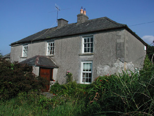 Tulla Housefarm house · 1.6 mi
 Saint Dominick's WellSpring · 1.8 mi
 Partially indicatedRoad, road/trackway · 1.8 mi
 Kinnitty Castle LoopWalking route · 2.1 mi
 Slieve Bloom Mountain Bike TrailVisitor information · 2.3 mi