What is recorded here
On a S-facing slope. This poorly preserved rectangular enclosure (c. 65m N-S; c. 56m E-W) is defined by a bank and external fosse; best preserved at S. A field wall cuts across the monument at WNW and ENE and another wall extends from this and cuts the enclosing element at SW.
Compiled by: Galway Archaeological Survey, UCG
Date of upload: 7 March 2019
The monument record does not grant public access. Check the route and ask the landowner before entering private land.
- What survives
- Recorded monument
Places near here
 LisnarahaFairy fort / stone ringfort · 530 yd
 Enclosure in Grange (loughrea By.)Enclosure · 656 yd
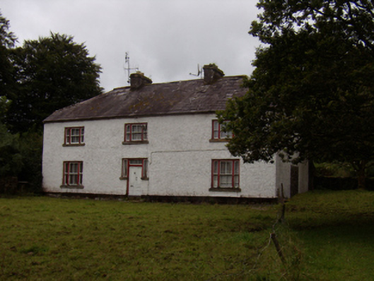 Abbeyville Househouse · 742 yd
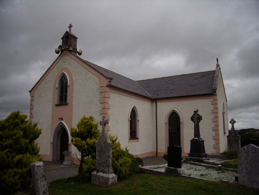 Saint Dympna's Catholic Churchchurch/chapel · 954 yd
 Ash IslandIslet · 1473 yd
 Island McCooIslet · 1629 yd
 Long PointHeadland · 1.2 mi
 Site of CastleCastle, unclassified · 1.6 mi
 CastleCastle, tower house · 2.5 mi
 Scalpeen RockNamed rock · 3.7 mi
 KnockapollboyMountain / peak · 5.3 mi
 Dartfield Horse MuseumHeritage attraction · 5.6 mi