What is recorded here
On the W edge of a small island (dims. c. 230m N-S; c. 85m E-W) in marshy terrain, c. 50m E of the River Goul, in pasture. A roughly D-shaped enclosure (dims. c. 30m N-S and E-W) identified as an earthwork on Google Earth Pro imagery (imagery date 8 March 2010) by Jean-Charles Caillère. The roughly straight W-side (L c. 27m) is defined by the edge of the island, elsewhere the enclosure appears to be defined by a bank and outer fosse.
See attached photograph:
KK003-046----_01 Image ©2019 Maxar Technologies: Google Earth Pro satellite imagery (8 March 2010)
Compiled by: Jean Farrelly
Date of upload: 13 January 2020
The monument record does not grant public access. Check the route and ask the landowner before entering private land.
- What survives
- Recorded monument
Places near here
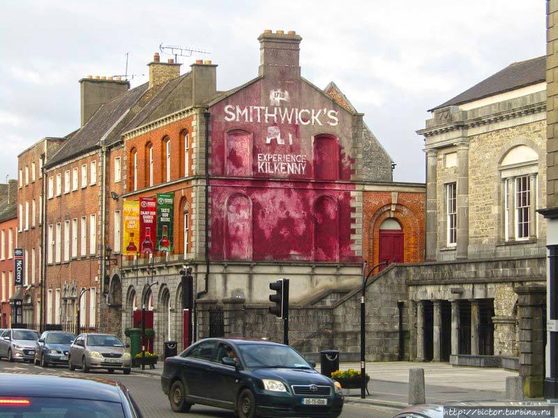 Glashare Ringfort (rath)Archaeological place · 1380 yd
 Glashare CastleCastle, tower house · 1458 yd
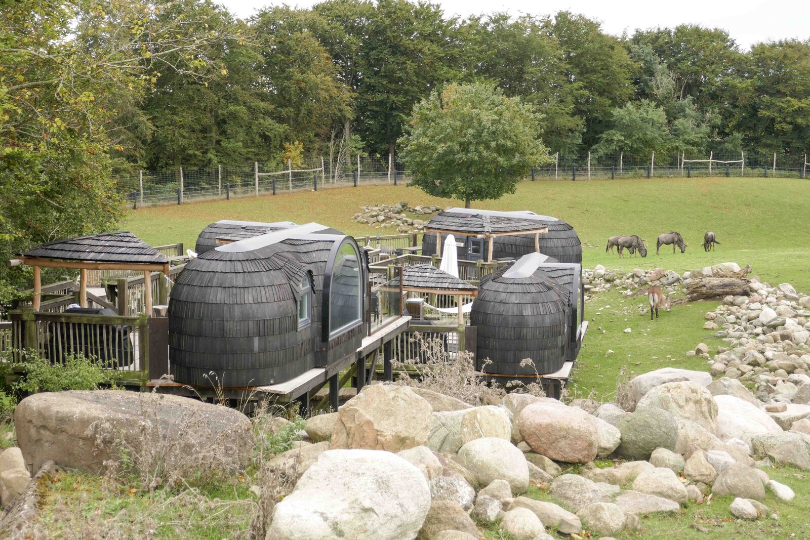 Enclosure in GlashareEnclosure · 1480 yd
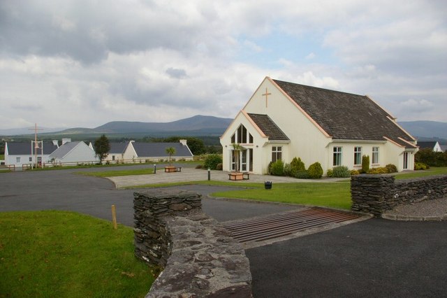 Church in GlashareChurch · 1527 yd
 Street fieldArchaeological place · 1683 yd
 Templegal Church (in ruins)Church · 1.2 mi
 Grangefertagh Castle (site)Archaeological place · 1.5 mi
 Cnoc SeanrathaMemorial · 2.5 mi
 DelaneyMemorial · 3.5 mi
 Clomantagh HillMountain / peak · 4.1 mi
 Big WoodWood · 4.1 mi
 Anker's IslandIsland · 7.3 mi