
What is recorded here
From the National Monuments Service (Archaeological Survey of Ireland) record WM007-133
Places near here
Photo credits
- Maker not stated on source page, commons.wikimedia.org
- Maker not stated on source page, www.irishcentral.com
- Maker not stated on source page, www.dreamstime.com
- Maker not stated on source page, uk.pinterest.com
- National Inventory of Architectural Heritage
- Kmcnamee, Wikimedia Commons · CC BY-SA 4.0
- Maker not stated on source page, pixels.com
- Jeanne dArc at English Wikipedia, Wikimedia Commons · CC BY-SA 3.0
- Maker not stated on source page, en.wikipedia.org
 Earthwork in GillardstownEarthwork · 1102 yd
Explorer Tom The earthwork in Gillardstown would be the uncle at a wedding who stands in the corner eating all the canapés and…
 CastleCastle, unclassified · 1570 yd
Explorer Tom Derrynagarragh Castle would file a noise complaint with the council if it could, mostly because the wind whistles…
 Fairy fort / earthen ringfort in DerrynagarraghFairy fort / earthen ringfort · 1743 yd
Explorer Tom Fairy fort / earthen ringfort in Derrynagarragh: If this fort could talk to its younger self, it would probably tell it…
 Stone head in Milltown (fore By.)Stone head · 1.1 mi
Explorer Tom Stone head in Milltown is stuck in a gable like a celebrity who missed their royal visit appointment but nobody can…
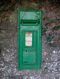 post box1.2 mi
Explorer Tom This post box in Milltown has strict rules: no loud noises, no dirty fingers, and absolutely no asking who made it.…
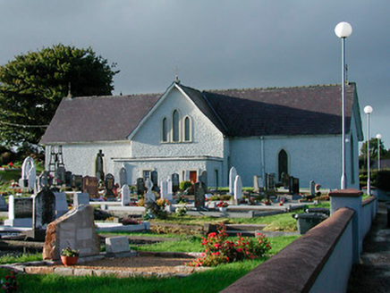 Catholic Church of Saint John the BaptistChurch/chapel · 1.2 mi
Explorer Tom Catholic Church of Saint John the Baptist in Milltown was built on a bargain where the mason got paid in potatoes…
 Mapped graveyardGraveyard · 1.2 mi
Explorer Tom Mapped graveyard in County Westmeath would be the person at the wedding who stands in the corner looking solemn while…
 Ringtown GAA pitchGAA ground · 1.3 mi
 Fairy fort / ringfort in DerrynagarraghFairy fort / ringfort · 1.3 mi
Explorer Tom Fairy fort / ringfort in Derrynagarragh: Someone once wrote a bad poem about this levelled ring, calling it 'a circle…
 KnockeyonMountain / peak · 1.8 mi
Explorer Tom Knockeyon hates visitors who wear bright yellow because it reminds it of the time a pigeon got stuck in its moss. It’s…
 Nuns IslandIslet · 2.2 mi
Explorer Tom Nuns Island probably ended up here because it took a wrong turn at a very old crossroads and got confused. It looks…
 Turgesius IslandIslet · 2.3 mi
Explorer Tom Turgesius Island was nearly sold off as a very expensive horse to a confused tourist last Tuesday, I swear. The name is…
More archaeology and monuments in County Westmeath · All of County Westmeath

What do you know about this place?Tap to add a comment or ask a question