What is recorded here
On a very gradual NW-facing slope in fairly flat terrain, under tillage. Cairn (TS081-032----) is visible upslope to S. Very disturbed, roughly circular (diam. 45m NW-SE) enclosure. The E side has been levelled and the bank on the W side is incorporated into or defined by a curving field boundary, partially earthen bank, partially stone wall. Large boulders of uprooted bedrock have been piled up on the low, curving earthen field boundary (Wth 0.9m crest, 1.3m base; int. H 0.53m; ext. H 0.64m) in the NW quadrant. The W side is not tilled but is very overgrown with brambles. The monument was inspected in 1956 and described as a tree-ring 'the area is characterised by rock outcrop and was formerly planted with larches...the site is bounded by a dug stone wall, which it is proposed to remove. This site has no archaeological interest and may be included in the Land Project schemes' (OPW Correspondance Files 14.2.1956).
Compiled by: Jean Farrelly
Date of upload: 07 January 2014
The monument record does not grant public access. Check the route and ask the landowner before entering private land.
- What survives
- Recorded monument
Places near here
 Water millWater mill, unclassified · 365 yd
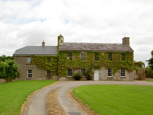 Garryroan Househouse · 767 yd
 Garrycloher WoodForest · 1063 yd
 Ecclesiastical enclosure in WhitechurchEcclesiastical enclosure · 1231 yd
 Enclosure in ScartanaEnclosure · 1314 yd
 Pedunculate OakPedunculate Oak · 2.1 mi
 CastleCastle, motte · 2.1 mi
 Roosca CastleCastle · 2.2 mi
 Cahir CastleHeritage attraction · 2.7 miSiege of Cahir Castlesiege · 2.8 mi
 Caher AbbeyHeritage attraction · 2.9 mi
 Slieveanard NE TopMountain / peak · 3.2 mi