
What is recorded here
In pasture, on a natural rise in gently undulating limestone terrain, with good views in all directions. A field drain skirts the SE−SW side of the rise. The Robe River is c. 500m to N. Not shown on any edition of the OS 6-inch maps. Recorded in an aerial photograph (SMR file: GSI M 26-7; Roll 205, pr. 5). An oblong…
Read the whole record
From the National Monuments Service (Archaeological Survey of Ireland) record MA111-025
Places near here
Photo credits
- National Inventory of Architectural Heritage
- Kmcnamee, Wikimedia Commons · CC BY-SA 4.0
- Maker not stated on source page, www.pinterest.com
- Maker not stated on source page, www.airbnb.co.in
- Maker not stated on source page, en.wikipedia.org
- Christian Pirkl, Wikimedia Commons · CC BY-SA 3.0 at
- Maker not stated on source page, global-geography.org
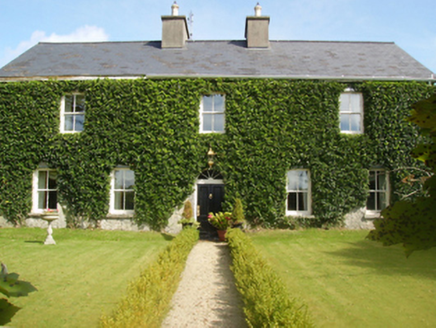 Gardenfield HouseFarm house · 826 yd
Explorer Tom Gardenfield House in Garreens looks like it won an argument about who gets the best fanlight window. The whole parish…
 Carramore, Hollymount/Carramore GAAGAA ground · 1336 yd
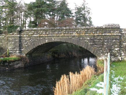 bridge1497 yd
Explorer Tom Bridge in Pollaweela is linked to famine relief drainage works, which is a heavy topic for a stone structure. It’s got…
 Tagheen Old CemeteryGraveyard · 1561 yd
Explorer Tom Tagheen Old Cemetery has one visitor it really doesn't like, and it’s not a ghost or anything supernatural, just a…
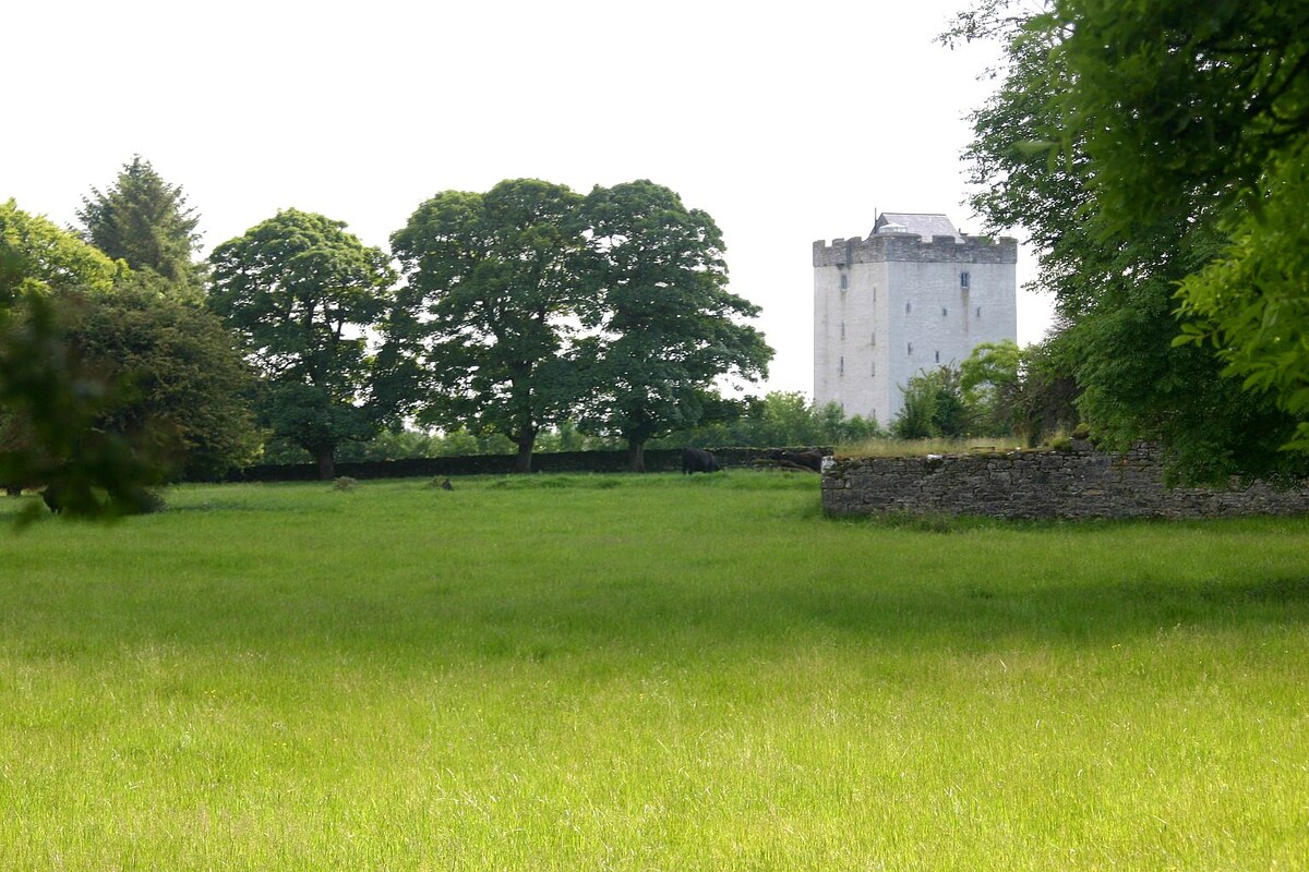 CastleCastle, unclassified · 1.4 mi
Explorer Tom Castle (Site of) in Lehinch Demesne was half-owned by someone very confused about property law. Its first owner’s…
 Tagheen New CemeteryCemetery · 1.7 mi
Explorer Tom Tagheen New Cemetery offers a shortcut to nowhere specific, which is the kind of route you take when you’re trying to…
 Hollymount HouseWalled garden · 2.1 mi
Explorer Tom Hollymount House walled garden would tell the new development next door to zip it up tight. It’s fragmented but still…
Hollymount, Hollymount/Carramore GAAGAA ground · 2.3 mi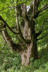 Sycamore4.3 mi
Explorer Tom Sycamore’s least favourite visitor is definitely the guy who tries to climb it in his dress shoes and complains about…
 Castle (in Ruins)Castle, tower house · 4.4 mi
Explorer Tom Castle in Cloonnagashel somehow ended up sitting right next to a golf course, which feels like a major mix-up. It’s…
 Megalithic structure in KnocknacroaghaMegalithic structure · 5.1 mi
Explorer Tom Knocknacroagha’s megalithic structure hates visitors who wear yellow raincoats, for reasons nobody understands. It’s…
 Earthwork in Skealoghan,cregmore (browne)Earthwork · 5.5 mi
Explorer Tom Earthwork in Skealoghan, Cregmore claims it’s older than the concept of Tuesdays, which is probably a lie but it sounds…
More archaeology and monuments in County Mayo · All of County Mayo

What do you know about this place?Tap to add a comment or ask a question