What is recorded here
A lois is mentioned in a report of a possible ogham stone (WA026-064----) in Garrarus during 1933 (NMI topographical files). It remains unlocated.
Compiled by: Michael Moore
Date of upload/revision: 27 May 2011
The monument record does not grant public access. Check the route and ask the landowner before entering private land.
- What survives
- Recorded monument
Places near here
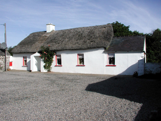 Historic buildingOfficially recorded historic building · 436 yd
 Promontory fortPromontory fort, coastal · 873 yd
 IndicatedEnclosure · 899 yd
 Garrarus StrandBeach / strand · 1235 yd
 Metal Man Towerbeacon · 1644 yd
 The Metal ManHeritage attraction · 1645 yd
 Newtown WoodsWood · 1700 yd
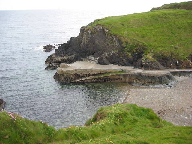 Newtown CoveBeach / strand · 1.1 mi
 Doneraile WalkWalking route · 1.7 mi
 Cannon GunBattlefield · 1.9 mi
 Ballyscanlon HillMountain / peak · 2.1 mi
 Fenor BogNature reserve · 2.1 mi