
What is recorded here
From the National Monuments Service (Archaeological Survey of Ireland) record KK027-054
Places near here
Photo credits
- Maker not stated on source page, www.flickr.com
- Maker not stated on source page, www.echolive.ie
- A.-K. D., Wikimedia Commons · CC BY-SA 4.0
- Eirian Evans, Geograph · CC BY-SA 2.0
- National Inventory of Architectural Heritage
- Charles Vallancey, Rev Joseph Turner (Life time: died 1812 / 1835), Wikimedia Commons · Public domain
- Martin Richard Phelan, Wikimedia Commons · CC BY-SA 2.0
- Maker not stated on source page, focusedcollection.com
- Maker not stated on source page, www.interment.net
 Fairy fort / earthen ringfort in Garrynamann UpperFairy fort / earthen ringfort · 437 yd
Explorer Tom Fairy fort / earthen ringfort in Garrynamann Upper hides a giant who got stuck in the trees and never left. Locals…
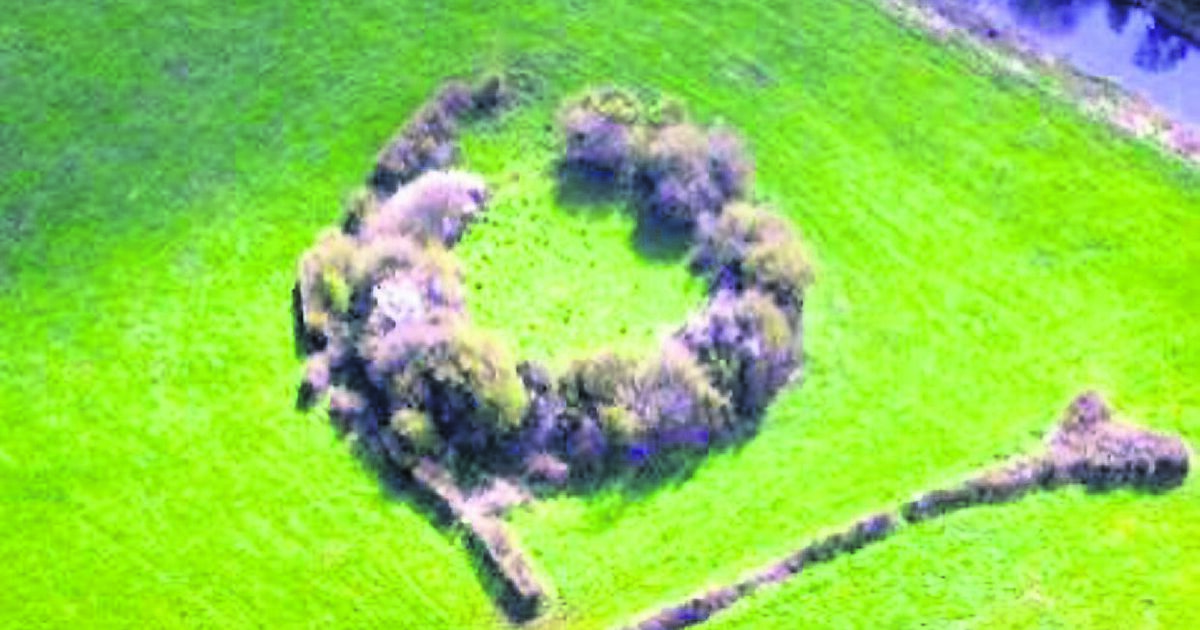 Fairy fort / earthen ringfort in EnnisnagFairy fort / earthen ringfort · 1273 yd
Explorer Tom This fairy fort in Ennisnag is where a poet once fell in a ditch and wrote about it for three days straight, bless his…
 Ballyda Holy WellSpring · 1455 yd
Explorer Tom Ballyda Holy Well thinks the Dublin tourists are a bit much for its taste, especially when they try to take selfies…
 Mill CottageHouse · 1544 yd
Explorer Tom Mill Cottage in Garrynamann Lower looks like it wandered in from the wrong century by mistake. It’s got that long, low…
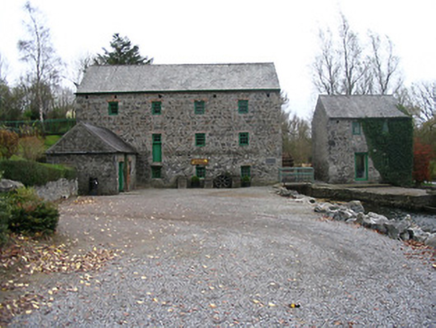 mill (water)1555 yd
Explorer Tom Mill in Garrynamann Lower thinks the local sheep are managing the entire economy, which is probably true given their…
 Kells Priory Mill MuseumMuseum · 1558 yd
Explorer Tom Kells Priory Mill Museum is sitting there looking like it was about to be sold off for a horse at some point. It's been…
 CastleCastle, motte and bailey · 1692 yd
Explorer Tom This motte and bailey in Garrynamann Lower would handle a nosey neighbour by simply sinking into the marshy ground and…
 Lacken WellSpring · 1699 yd
Explorer Tom Lacken Well near Kells is famous for the superstition that if you kiss the stone three times, your ex will call you…
 Mapped graveyardGraveyard · 1.0 mi
Explorer Tom This Mapped graveyard in County Kilkenny survived a massive storm by pretending it wasn’t there at all. It’s been…
 Prior's TowerCastle · 1.0 mi
Explorer Tom Prior's Tower in County Kilkenny is basically a castle that forgot to show up to its own party. It’s got that 'I’m too…
 Kells Loop WalkWalking route · 1.0 mi
Explorer Tom Kells Loop Walk is definitely hiding a biscuit tin from the 1700s, which I am sure you will find by day three. It runs…
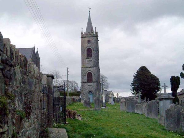 Flat cemetery in DanesfortFlat cemetery · 1.2 mi
Explorer Tom Flat cemetery in Danesfort has been on the weather's bad side for centuries. It’s a circle of pits that just gave up on…
More archaeology and monuments in County Kilkenny · All of County Kilkenny

What do you know about this place?Tap to add a comment or ask a question