What is recorded here
In pasture, at base of N-facing slope, c. 6m to S of mill stream at its closest point. Low profile bank (Wth 2m; int. H 0.4m; ext. H 0.15m) of earth and stone is L-shaped in plan form, enclosing field boundary/mill stream to N. Bank (L c. 14m) defines S-side and right angled return of bank (L c. 16m) defines E-side. There is a row of briars (long-axis c. N-S) to W, possibly delineating an old field boundary shown on the OS 1st ed. map. Later wall (long-axis NE-SW) (L 6.5m; H 0.1m; T 0.75m) is within interior. Ringfort (TS068-083001-), earthworks (TS068-083002-) and enclosure (TS068-083003-) are located c. 65m, c. 200m and c. 170m to SW respectively.
Compiled by: Jean Farrelly
Date of upload: 26 August 2011
The monument record does not grant public access. Check the route and ask the landowner before entering private land.
- What survives
- Recorded monument
Places near here
 Garranlea Church (in ruins)Church · 725 yd
 Bawn in GarranleaBawn · 804 yd
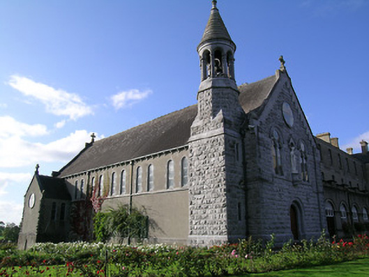 Rockwell Collegechurch/chapel · 1700 yd
 Boytonrath Castle (in ruins)Castle, unclassified · 1.2 mi
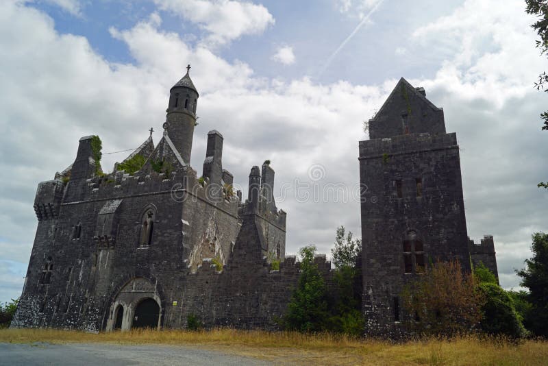 Enclosure in Templenoe (killeenasteena Par.)Enclosure · 1.2 mi
 Ecclesiastical enclosure in MasterstownEcclesiastical enclosure · 1.3 mi
 Athassel PrioryHeritage attraction · 3.2 mi
 Caucasian zelkovaCaucasian zelkova · 4.4 mi
 Cappa WoodWood · 5.2 mi
 Slieveanard NE TopMountain / peak · 5.6 mi
 Cahir CastleHeritage attraction · 5.7 mi
 SlieveanardMountain / peak · 6.4 mi