What is recorded here
In NW corner of field, 40m S of the townland boundary with Nicker. Enclosure (LI024-148001-) located to the immediate N. Not depicted on the OS maps. Identified by Bruff aerial photographic survey in 1986 (Bruff 87; AP 4/3679) as a circular-shaped area (approx. diam. 24m) defined by a scarp from E through S to W and cut by a NW-SE running field boundary. A scarp on the W side of the field boundary is only surface trace of monument visible on Google Earth orthoimage dated 28/06/2018.
See attached Bruff aerial survey image
Compiled by: Martin Fitzpatrick
Date of upload: 22 July 2020
The monument record does not grant public access. Check the route and ask the landowner before entering private land.
- What survives
- Recorded monument
Places near here
 Enclosure in Garrane MoreEnclosure · 32 yd
 Enclosure in LisheenEnclosure · 626 yd
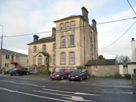 Pallas Grean Constabulary BarrackRIC barracks · 766 yd
 E. O'Dwyerhouse · 775 yd
 (Site of) Nicker CastleCastle, unclassified · 929 yd
 Kilduff Castle (in ruins)Castle, tower house · 1282 yd
 KnockseefinMountain / peak · 1322 yd
 ToberagaddySpring · 1501 yd
 St. Patrick's WellSpring · 3.5 mi
 Kilteely HillMountain / peak · 4.0 mi
 Graveyard in AbingtonGraveyard · 5.5 mi
 Flat cemetery in Knockainy WestFlat cemetery · 7.9 mi