What is recorded here
A roughly circular enclosure (diam. c. 60m) visible on open source TII lidar, identified and reported by Muiris Wade. The N and E perimeter of the enclosure is incorporated in the townland boundary which deliberately kinks to respect the monument. The SE perimeter is clearly visible on the lidar image and is also visible as a cropmark on satellite imagery (Digitalglobe 2011-13). The perimeter in the SW sector has been slightly truncated by a road running NW-SE and the W edge is obscured by trees.
See attached:
WA031-077----_01 open source TII lidar
WA031-077----_02 satellite image (Digitalglobe 2011-13)
Compiled by: Jean Farrelly
Date of upload: 1 June 2022
The monument record does not grant public access. Check the route and ask the landowner before entering private land.
- What survives
- Recorded monument
Places near here
 Burnt mound in GarranbaunBurnt mound · 117 yd
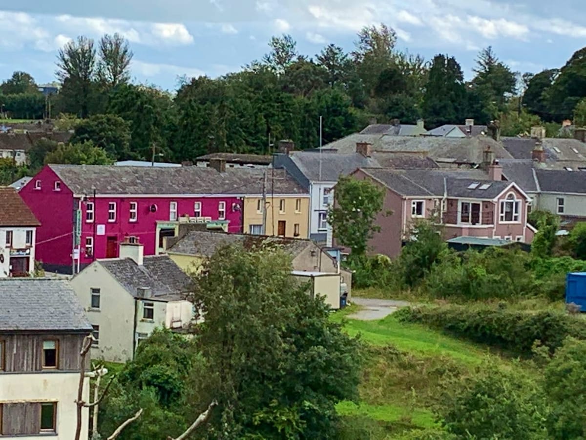 Enclosure in CloncoskoranEnclosure · 1043 yd
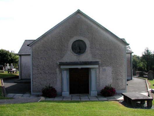 Catholic Church of Saint Vincent de PaulOfficially recorded historic building · 1381 yd
 Cloncoskrainefarmyard complex · 1552 yd
 Cloncoskoran Castle (in ruins)Castle, tower house · 1708 yd
 Horse-chestnutHorse-chestnut · 1.4 mi
 Site of CastleCastle, unclassified · 1.6 mi
 Deelish MountainMountain / peak · 1.7 mi
 CrohaunMountain / peak · 2.8 mi
 Dungarvan CastleCastle · 3.4 mi
 Dungarvan World War I MemorialMemorial · 3.4 mi
 Cunnigar PointHeadland · 3.4 mi