What is recorded here
From the Northern Ireland Sites and Monuments Record record TYR049:026
Places near here
Photo credits
- Maker not stated on source page, www.pinterest.com
- Kenneth Allen, Geograph · CC BY-SA 2.0
- Maker not stated on source page, en.wikipedia.org
- Maker not stated on source page, www.alamy.com
- Maker not stated on source page, www.flickr.com
- Kenneth Allen, commons.wikimedia.org
- Kenneth Allen, Wikimedia Commons · CC BY-SA 2.0
- Dromore St Dympna’s GFC; photographer not stated, www.dromoregfc.com
 Standing Stone in GargadisStanding Stone · 205 yd
Explorer Tom Standing Stone in Gargadis has an imaginary fan club that meets once a year to debate whether it leans left or right…
 Two standing stones in LisnahannaTwo Standing Stones · 1618 yd
Explorer Tom Two standing stones in Lisnahanna are the shortcut that isn’t a shortcut because they’re so close together that you…
 Standing stone in LisnahannaStanding Stone · 1.1 mi
Explorer Tom Standing stone in Lisnahanna would be the uncle at a wedding who stands in the corner, drinking too much champagne, and…
 Pre-norman & Medieval Church & Graveyard: Kilskeery, Cill-scire, Quilskyre & Quylskyre in Kilskeery GlebePre-norman & Medieval Church & Graveyard: Kilskeery, Cill-scire, Quilskyre & Quylskyre · 1.7 mi
Explorer Tom Pre-norman & Medieval Church & Graveyard: Kilskeery, Cill-scire, Quilskyre & Quylyskyr in Kilskeery Glebe is the scene…
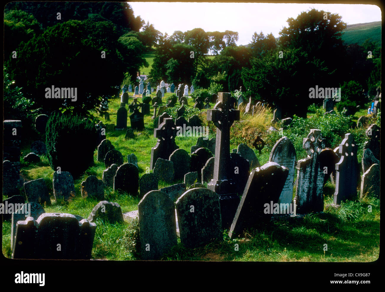 Mapped graveyardGraveyard · 1.7 mi
Explorer Tom There is serious drama between this Mapped graveyard in County Tyrone and the nearest tree, which keeps dropping apples…
 Castle HillMountain / peak · 1.9 mi
Explorer Tom Castle Hill in County Tyrone is actually named after a guy called Castle who had a really bad habit of building things…
 Donnelly Park, St. Macartan's GAA, TrillickGAA ground · 2.0 mi
 C17th defended house & bawn: trillick castle in Castlemervyn DemesneC17th Defended House & Bawn: Trillick Castle · 2.1 mi
Explorer Tom Trillick Castle has a deep suspicion of the postman because he always delivers bills and never brings good news, which…
 Christ Church (CoI)Church · 2.2 mi
Explorer Tom Christ Church in Cavanamara is wondering what the rabbits think about it building a church right next to their…
 Brougher MountainMountain / peak · 4.2 mi
Explorer Tom Brougher Mountain has an imaginary fan club of about four shepherds who wave at it every morning and feel quite special…
 Gardrum Park, St. Dympna's GAA, DromoreGAA ground · 4.8 mi
 Dromore Riverside WalkPark · 4.8 mi
Explorer Tom Dromore Riverside Walk in County Tyrone is bragging it survived a storm that actually just blew its own hat off. I’m…
More archaeology and monuments in County Tyrone · All of County Tyrone

What do you know about this place?Tap to add a comment or ask a question