What is recorded here
In low-lying pasture, on gentle SSW-facing slope. Monument, depicted as roughly circular enclosure (diam. c. 70m) on 1924 OS 6-inch map, has been levelled. However, still evident as roughly circular area (64m N-S; 68m E-W) defined by a low rise (int. H 0.2m; ext. H 0.55m; Wth at top 3m) with an external fosse (D 0.3m; Wth 1.4m). Interior level and clear of overgrowth. According to local information monument levelled to present state c. 1980.
Compiled by: Denis Power
Date of upload: 26 August 2011
The monument record does not grant public access. Check the route and ask the landowner before entering private land.
- What survives
- Recorded monument
Places near here
 ToberacappeenSpring · 180 yd
 CastleCastle, unclassified · 248 yd
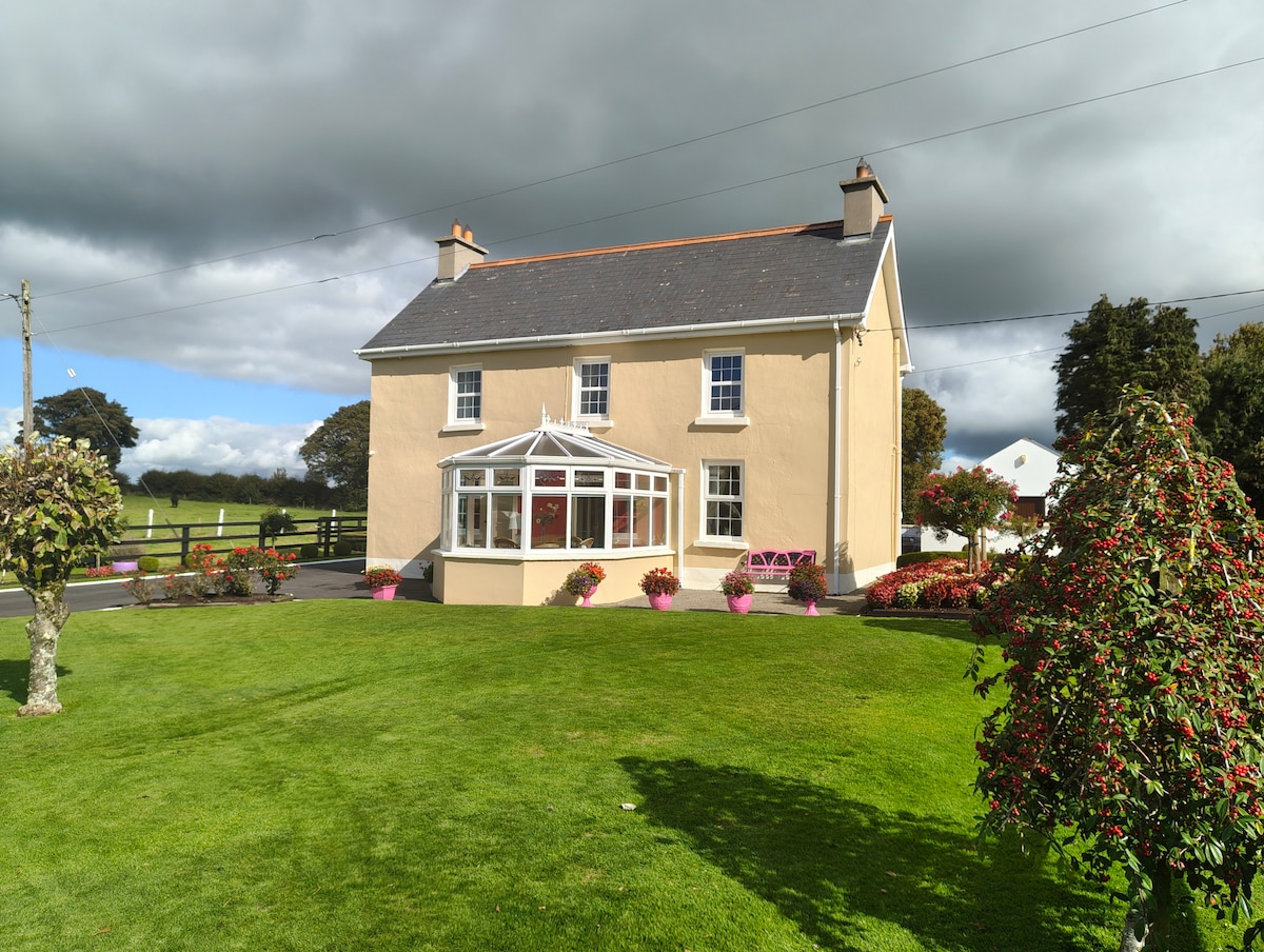 Enclosure in Gardenfield EastEnclosure · 919 yd
 Burnt mound in Gardenfield SouthBurnt mound · 1231 yd
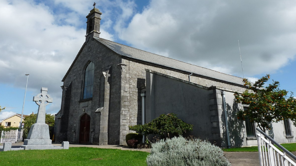 Cloncrew Church (in ruins)Church · 1576 yd
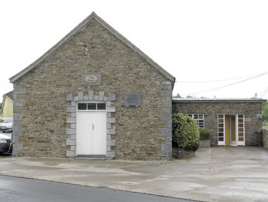 National Dairy Co-Operative Museumcreamery · 1.3 mi
 National Co-op MuseumMuseum · 1.3 mi
 ToberhoranSpring · 2.2 mi
 Castle LisheenCastle · 2.5 mi
 Mullaghareirk - Banane LoopWalking route · 7.2 mi
 Ballagh MountainMountain / peak · 7.7 mi
 Battle of LiscarrollMajor battlefield · 7.8 mi