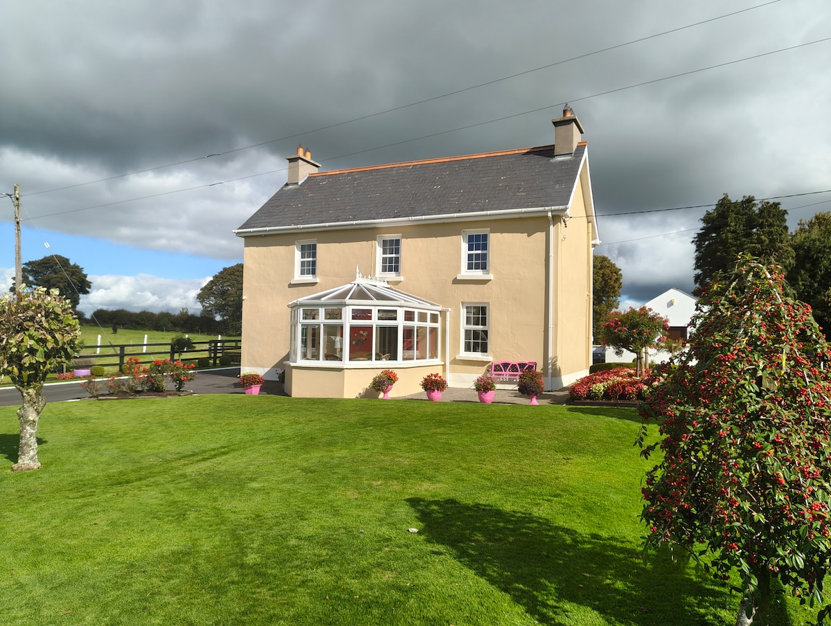
What is recorded here
In undulating pasture. Monument, depicted as embanked circular enclosure (diam. c. 30m) on 1923 OS 6-inch map, has been levelled and incorporated into pasture field. However, it is still apparent as circular area (31m N-S; 31m E-W) enclosed by fosse (D 0.2m; Wth 1.6m), but no surface trace of enclosing bank shown on 1923 OS 6-inch map. At centre is circular platform (diam. 15m) defined by scarped edge (H 0.2m; Wth 1.8m).
Compiled by: Denis Power
Date of upload: 26 August 2011
The monument record does not grant public access. Check the route and ask the landowner before entering private land.
- What survives
- Recorded monument
Places near here
 CastleCastle, unclassified · 1027 yd
 ToberacappeenSpring · 1037 yd
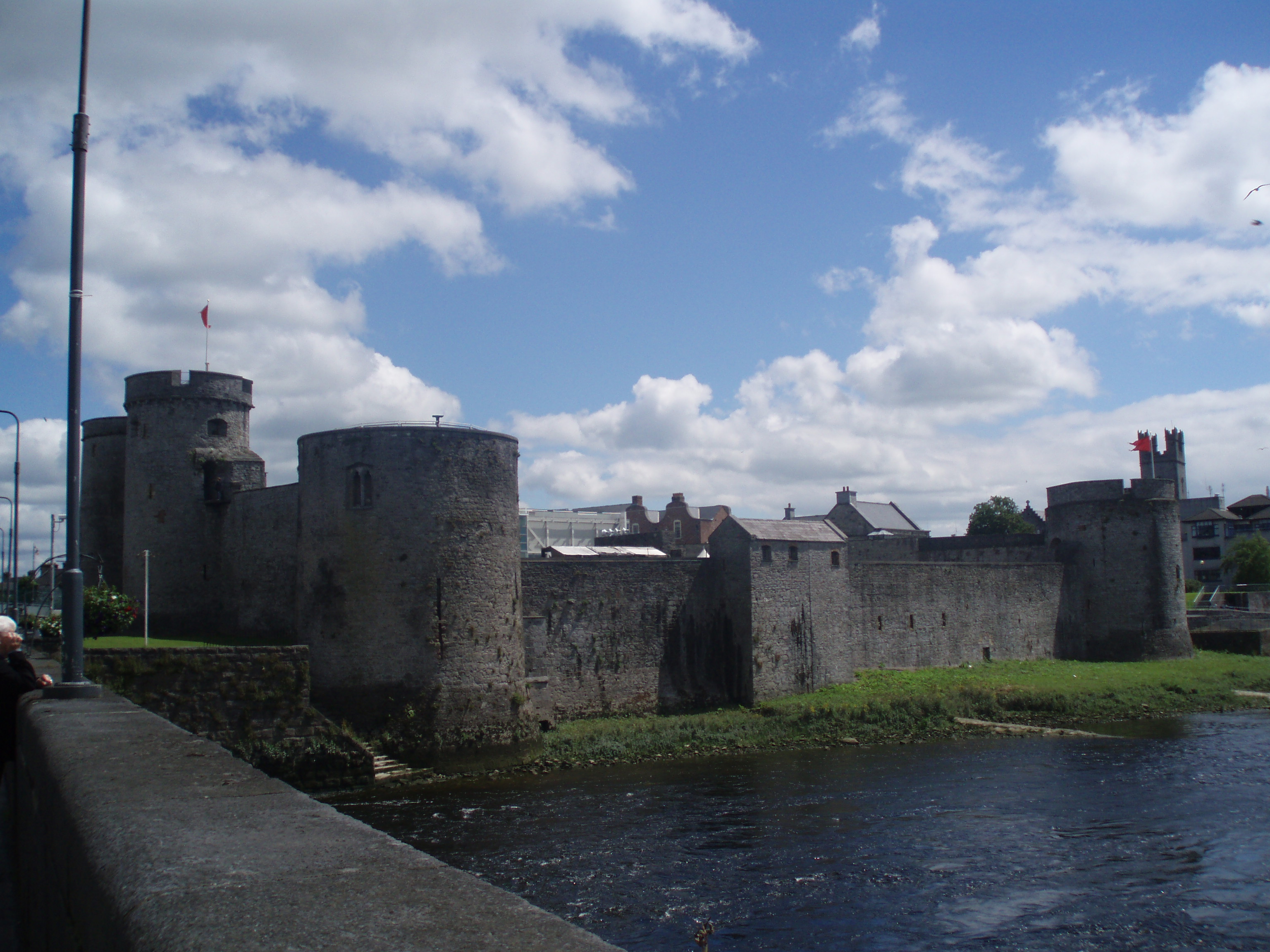 Cloncrew Fort - HachuredFairy fort / earthen ringfort · 1433 yd
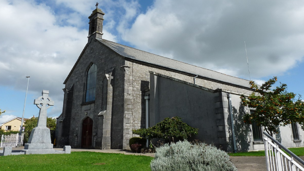 Cloncrew Church (in ruins)Church · 1441 yd
 Burnt mound in Gardenfield SouthBurnt mound · 1.1 mi
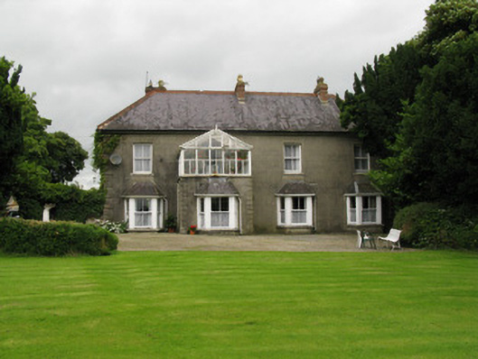 Highmount Housefarm house, house · 1.2 mi
 National Co-op MuseumMuseum · 1.8 mi
 ToberhoranSpring · 2.1 mi
 Castle (in Ruins)Castle, Anglo-Norman masonry castle · 2.5 mi
 Mullaghareirk - Banane LoopWalking route · 7.6 mi
 Ballagh MountainMountain / peak · 8.0 mi
 Battle of LiscarrollMajor battlefield · 8.0 mi
Other information
Photo: Credit not shown in the picture search · Rights wording not checked; contact us if this picture should be removed