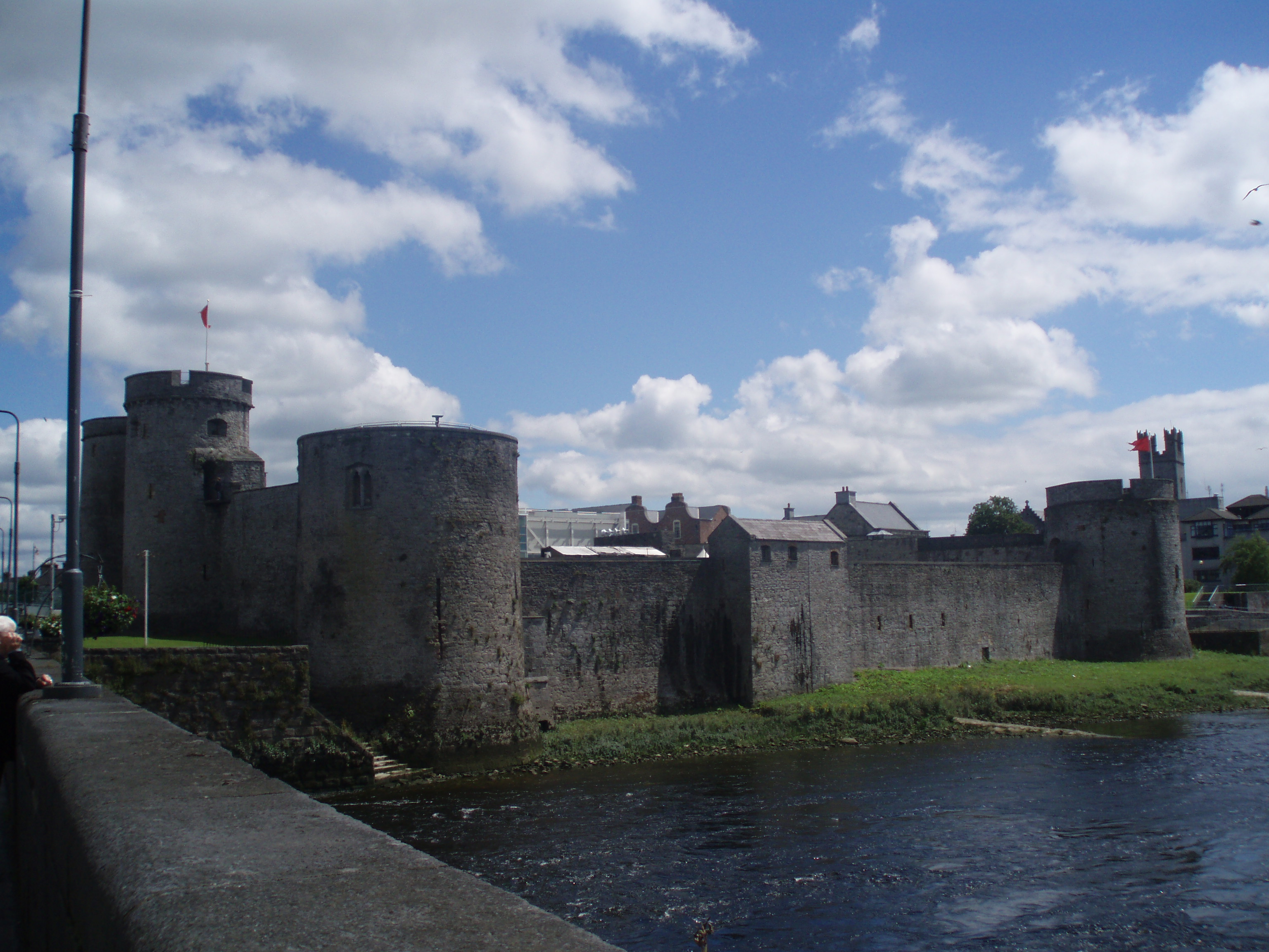
What is recorded here
In level pasture, close to E bank of River Deel. Circular area (diam. c. 25m) defined by scarped edge (H 1.7m; Wth 0.5m). Base of scarp truncated NE->SE by field boundary; cattle have worn paths across scarp at NW, N and SE, otherwise scarp covered by dense overgrowth. Interior is level and under pasture which is heavily poached by cattle.
Compiled by: Denis Power
Date of upload: 26 August 2011
A local fairy fort (ringfort/rath); wider significance not recorded.
The monument record does not grant public access. Check the route and ask the landowner before entering private land.
- What survives
- Recorded monument
Places near here
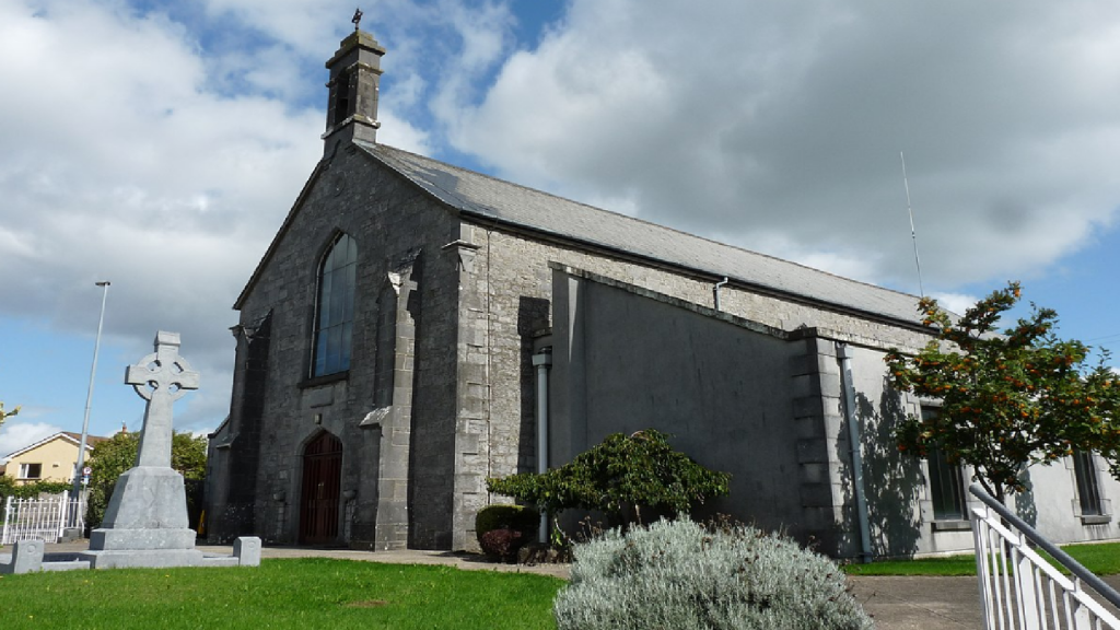 Cloncrew Church (in ruins)Church · 120 yd
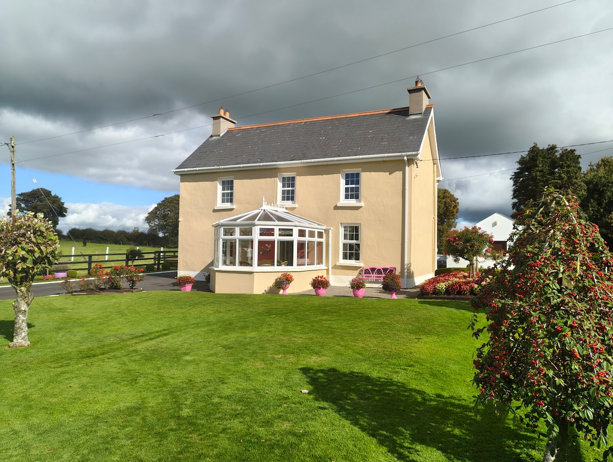 Enclosure in Gardenfield EastEnclosure · 1433 yd
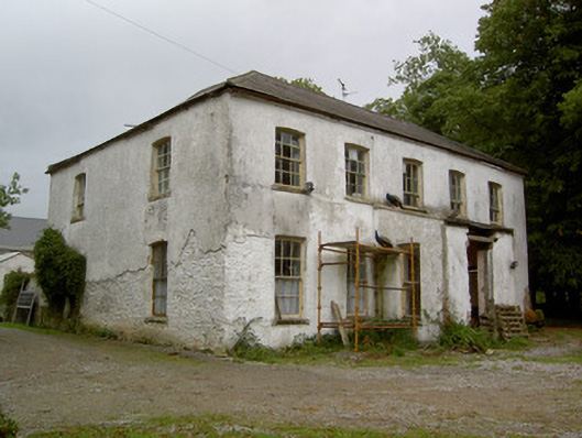 Hardingville Housecountry house · 1438 yd
 Burnt mound in Gardenfield SouthBurnt mound · 1703 yd
 ToberacappeenSpring · 1.0 mi
 CastleCastle, unclassified · 1.1 mi
 Castle (in Ruins)Castle, Anglo-Norman masonry castle · 1.7 mi
 National Co-op MuseumMuseum · 1.8 mi
 ToberhoranSpring · 2.9 mi
 Battle of LiscarrollMajor battlefield · 7.3 mi
 Mullaghareirk - Banane LoopWalking route · 8.0 mi
 Ballagh MountainMountain / peak · 8.6 mi
Other information
Photo: Credit not shown in the picture search · Rights wording not checked; contact us if this picture should be removed