What is recorded here
In improved pasture, on a S-facing slope, overlooking the flood plain of a river. A sub-oval area (dims. 44m ESE-WNW; 35m NNE-SSW) defined by the remains of a levelled bank (Wth 7.25m; int. H 0.25m; ext. H 0.05m). The bank survives from WNW-ENE and is reduced to scarp (Wth 5m; H 0.5m) SE-WNW. The monument is badly damaged from ENE-SE. The interior has a gentle SW-facing slope, with a higher area of level ground (dims. 14m ESE-WNW; 12m NNE-SSW) within the SE quadrant. According to local information the monument was levelled in the late 1970s.
Compiled by: Jean Farrelly
Date of upload: 26 August 2011
The monument record does not grant public access. Check the route and ask the landowner before entering private land.
- What survives
- Recorded monument
Places near here
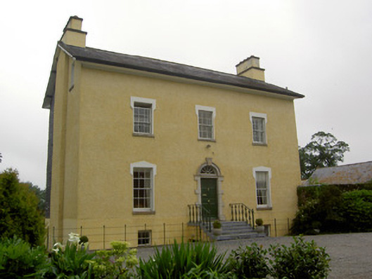 The Gleberectory/glebe/vicarage/curate's house · 439 yd
 Site of ChurchChurch · 473 yd
 Enclosure in FriarsfieldEnclosure · 521 yd
 Greenane Housecountry house · 1032 yd
 Old CastleRuins · 1346 yd
 Garranacanty MoatCastle, motte · 1.1 mi
 European ashEuropean ash · 1.2 mi
 I.R.A. 3rd. Tipperary Brigade MemorialMemorial · 1.9 mi
 Soloheadbeg Ambushambush · 2.4 mi
 It's a long way to TippereryHeritage attraction · 2.5 mi
 The Maid of ErinMemorial · 2.6 mi
 The RockViewpoint · 4.5 mi