What is recorded here
On a NE-SW rough hill pasture terrace on the NW-facing slopes of Gouladane overlooking Bantry Bay. A circular area (int. diam. 8m) is defined by large stones (up to 0.8m x 0.4m and H 0.4m) set intermittently on the perimeter S-E. Two adjoining rectangular box-like structures (1.2m N-S; 1.05m E-W; H 0.5m and 1.1m N-S; 0.85m E-W; H 0.4m) defined by stone slabs abut the perimeter internally at S. Their function is unclear. The presence of similar stones in a more jumbled state nearby suggests the possibility of further internal structures. Ferns partially obscure the enclosure.
The above description is derived from 'The Archaeological Inventory of County Cork. Volume 5' (Dublin: Stationery Office, 2009).
Date of upload: 22 December 2009
The monument record does not grant public access. Check the route and ask the landowner before entering private land.
- What survives
- Recorded monument
Places near here
 Hut site in FoilakillyHut site · 272 yd
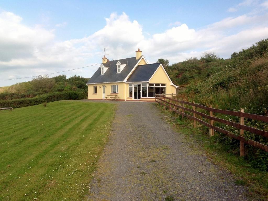 GouladaneMountain / peak · 882 yd
 Foilakilly LoopWalking route · 1118 yd
 Sheep's Head - Mass PathWalking route · 1219 yd
 Hut site in Glanlough (carbery West (w.d) By., Kilcrohane Par.)Hut site · 1556 yd
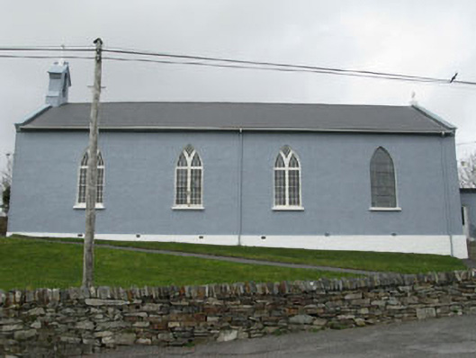 St. Patrick's Roman Catholic Churchchurch/chapel · 1.5 mi
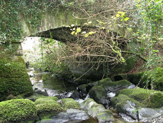 Ahakista Bridgebridge · 1.6 mi
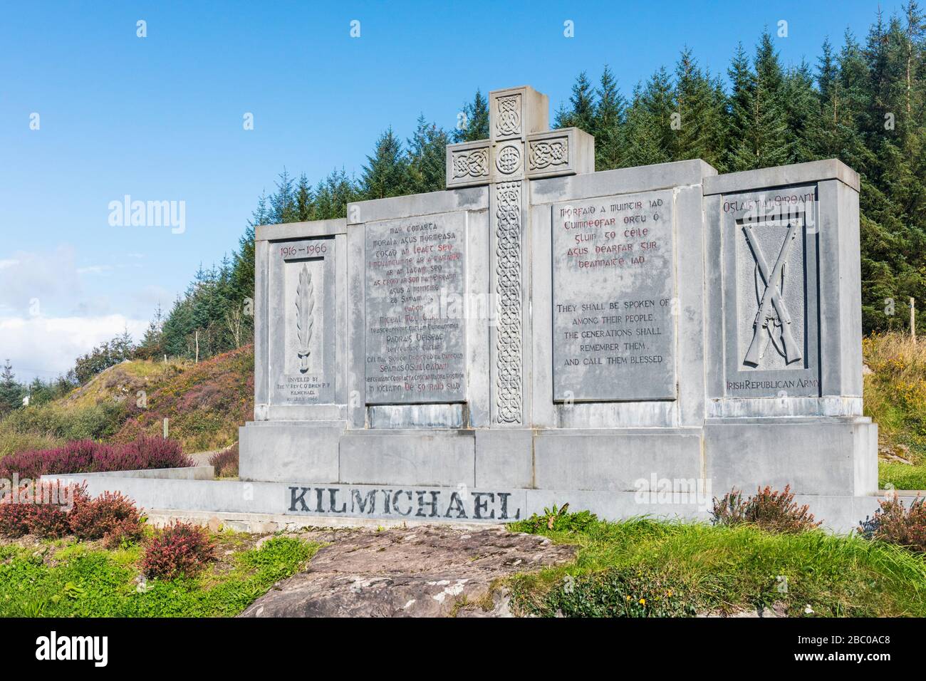 Tom Whitty memorialMemorial · 1.7 mi
 Rosskerrig MountainMountain / peak · 1.9 mi
 Air India Flight 182 Crash MemorialMemorial · 1.9 mi
 Owen's IslandIslet · 2.1 mi
 Stone RowHeritage attraction · 3.2 mi