What is recorded here
Cropmark of circular-shaped enclosure (approx. diam. 35m) visible on Google Earth aerial photograph taken 28/06/2018. Faint outline of cropmark visible on Digital Globe aerial photograph. Cropmark of field system of probable post-1700 date in field to E. The linear nature of this field system matches some of the fields depicted on the 1838 ed. OS 6-inch map which suggests that they are post-1700 in date.
See attached image taken from Google Earth
Compiled by: Caimin O'Brien based on details kindly provided by Chris Corlett
Date of upload: 27 November 2018
The monument record does not grant public access. Check the route and ask the landowner before entering private land.
- What survives
- Recorded monument
Places near here
 IndicatedCastle, motte · 1059 yd
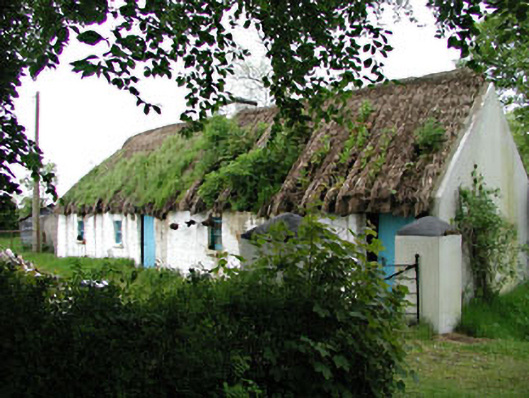 Mill Cottagehouse · 1105 yd
 Digby Bridge and 16th Lockbridge · 1233 yd
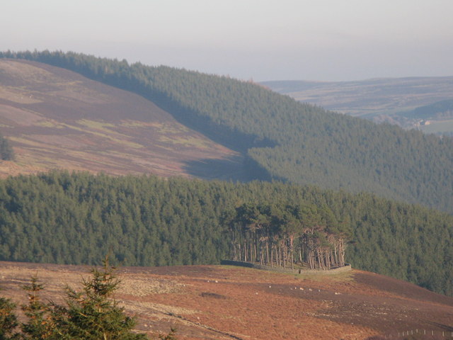 TumulusWood · 1298 yd
 Font (present location) in Millicent DemesneFont (present location) · 1304 yd
 Enclosure in Millicent Demesne,millicent NorthEnclosure · 1377 yd
 King Mesgegra’s Mound & later Norman MotteMemorial · 1.5 mi
 Castle (in Ruins)Castle, unclassified · 1.5 mi
 ICAMemorial · 1.6 mi
 Dunne's IslandWood · 1.8 mi
 Museum of MotorsportMuseum · 1.8 mi
 Grand Canal WayWalking route · 2.0 mi