What is recorded here
Reported by Mr. Jean-Charles Caillere (8-7-2022). In level, mixed rough grazing and improved pasture. Visible on GoogleEarth aerial imagery dated 18-3-2015 as the cropmark of a circular enclosure (est. diam c. 50m), located between an earthwork (RO022-059----) c. 85m to SW and a rath (RO022-058----) c. 100m to WNW.
See attachment: RO022-172---- _01 Snip of GoogleEarth aerial image (18-3-2015) supplied by Mr. Jean-Charles Caillere.
Compiled by: Gearóid Conroy
Date of upload: 20 December 2022
The monument record does not grant public access. Check the route and ask the landowner before entering private land.
- What survives
- Recorded monument
Places near here
 Enclosure in Boyanagh (roscommon By., Cloonyquin Ed)Enclosure · 427 yd
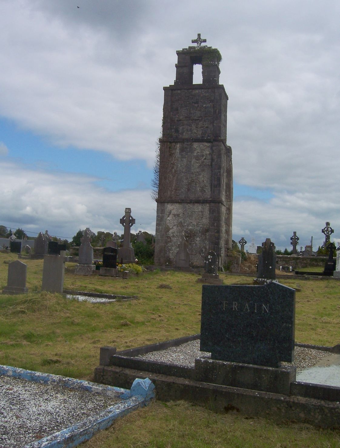 Ritual siteRitual site, holy/saint's stone · 1177 yd
 RoadRoad, road/trackway · 1698 yd
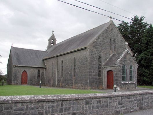 Saint Catherine's Catholic Churchchurch/chapel · 1.6 mi
 CastleCastle, unclassified · 2.3 mi
 Cruachan Aí Heritage CentreMuseum · 2.4 mi
 European ashEuropean ash · 2.5 mi
 ToberagullaSpring · 2.5 mi
 War of Independence Commemorative Military MemorialMemorial · 2.7 mi
 CastlerubyCastle, unclassified · 3.5 mi
 Sweet ChestnutSweet Chestnut · 7.1 mi
 Silver IslandIslet · 8.7 mi