What is recorded here
On relatively flat ground on a gentle S-facing slope, in undulating terrain under pasture. The view is dominated by the Galtee Mountains from S-SW and by a range of hills from W-NW, which form the N side of the Glen of Aherlow. The view is fair-good to the E though impeded by trees, good to the SW between the mountains and hills and to the NW, but poor to the N. A ringfort (TS067-079----) is located c. 90m to the ENE. On the 1st (1840-41) ed. OS 6-inch map the outline of the monument from W-N-ESE is indicated as the NW portion of an enclosed orchard. A building, part of a farmyard, is indicated running NE-SW on the NW edge of the enclosure/orchard, with another building running NW-SE from its NW corner. By the 2nd (1954) revision neither the farmyard nor the orchard are indicated.
A roughly circular enclosure (diam. c. 51m NW-SE; c. 56m NE-SW) identified on satellite imagery (Digitalglobe, viewed 19 July 2021). Defined by a broad bank (overall Wth 7m; Wth at top 4m; int. H 0.37m; ext. H 0.84m) and an external fosse (Wth 3m; D 0.28m). The bank survives in the NE quadrant but elsewhere it is largely reduced to scarp (H 0.87m). The edge of the monument is disturbed in the NW-N sector where the farm buildings where previously located. A wooden fence runs NW-SE along the E edge of the monument. The interior is fairly level.
See attached satellite imagery and photographs:
TS067-135----_01 Digitalglobe satellite imagery (viewed 19 July 2021)
TS067-135----_02 W edge of enclosure from the SW
TS067-135----_03 Overview from the NW
TS067-135----_04 Overview from the NE
TS067-135----_05 Interior from the NE
TS067-135----_06 Bank and fosse exterior in the NE sector
TS067-135----_07 Bank in the NE sector from the NW
Compiled by: Jean Farrelly
Date of upload: 4 August 2021
The monument record does not grant public access. Check the route and ask the landowner before entering private land.
- What survives
- Recorded monument
Places near here
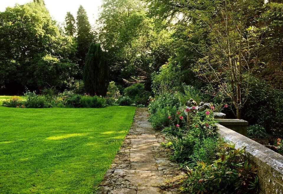 Enclosure in LismacueEnclosure · 846 yd
 Lismacue Housecountry house · 1267 yd
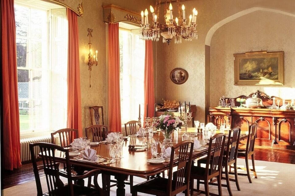 LismacueEnclosure · 1606 yd
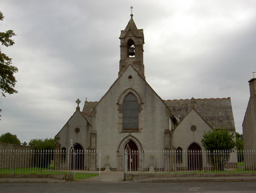 Catholic Church of the Annunciationchurch/chapel · 1675 yd
 Castle (in ruins)Castle, unclassified · 1.2 mi
 Bansha CastleCastle · 1.3 mi
 Pedunculate OakPedunculate Oak · 2.1 mi
 TuliptreeTuliptree · 2.1 mi
 SturrakeenMountain / peak · 3.3 mi
 Laghtshanaquilla North-East TopMountain / peak · 3.8 mi
 The RockViewpoint · 4.6 mi
 I.R.A. 3rd. Tipperary Brigade MemorialMemorial · 4.9 mi