What is recorded here
Situated in a valley on ground sloping very slightly to the SE to the floodplain of the River Suir. Ringforts (TN047-020 and TN047-019) are visible to the SE and NE respectively. An irregular-shaped enclosure (diam. NW-SE 38.5m; NE-SW 18m) defined by a fairly substantial earthen bank (Wth 2m; int. H 0.46m; ext. H 1.23m) and a wide, flat-bottomed fosse (Wth 2.1m; D 0.62m). The inner face of the counterscarp has a stone revetment at NW and may have been adopted as a field boundary.
The above description is derived from 'The Archaeological Inventory of County Tipperary. Vol. 1 - North Tipperary' compiled by Jean Farrelly and Caimin O'Brien (Dublin: Stationery Office, 2002). In certain instances the entries have been revised and updated in the light of recent research.
Date of upload/revision: 22 September 2008
The monument record does not grant public access. Check the route and ask the landowner before entering private land.
- What survives
- Recorded monument
Places near here
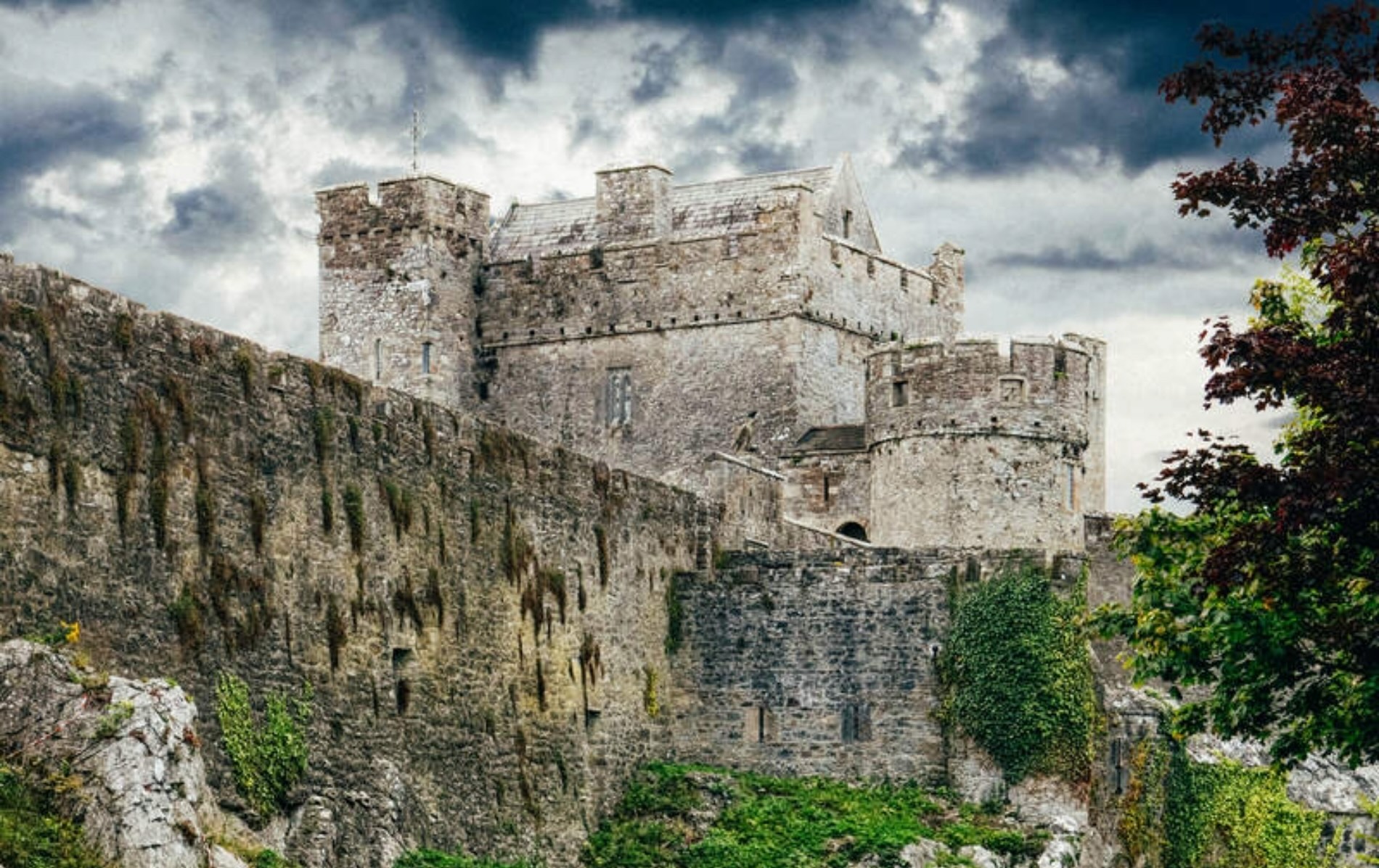 Castle (Site of)Castle, unclassified · 864 yd
 Beakstown Mills (disused)Water mill, unclassified · 1085 yd
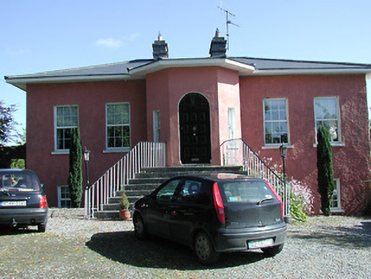 Beakstown Cottagehouse · 1102 yd
 Beakstown HouseCastle, unclassified · 1169 yd
 Enclosure in CabraghEnclosure · 1358 yd
 Abbey WellHoly well · 1543 yd
 Cormackstown Heritage CentreMuseum · 1.4 mi
 Wildlife CorridorWood · 2.0 mi
 WoodlandWood · 2.4 mi
 Killough Hill (site of)Mountain / peak · 2.6 mi
 Lár na PáirceMuseum · 2.7 mi
 Horse and JockeyVisitor information · 4.5 mi